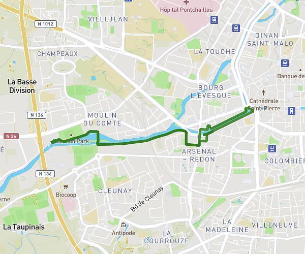
This running route covers 5.231mi starting from Chavagne, Ille-et-Vilaine. The run is a loop trail and returns to the trailhead. This run is rated as moderate, expect about 50m30s to complete it. The route has an elevation gain of 43ft and an elevation loss of 36ft.
Parcours 3 - TG - 8,4km
Route details
6.21mph
Speed
577 kcal
Calories burned
Loop trail
Route type
62ft
Min altitude
95ft
Max altitude
Route profile
43ft
Elevation gain
36ft
Elevation loss
62ft
Min altitude
95ft
Max altitude
How to get there
Trailhead: 15 Rue Du Boulay, 35310 Chavagne, France
GPS coordinates of the trailhead: 48.053058, -1.784847 / 48°3'11'' N, 1°47'5'' W