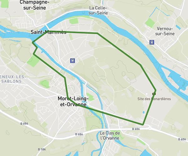
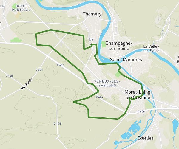
This running route covers 6.153mi starting from Saint-Mammès, Seine-et-Marne. The run is a loop trail and returns to the trailhead. This run is rated as moderate, expect about 1h6m to complete it. The route has an elevation gain of 367ft and an elevation loss of 351ft.
St mammes
Route details
5.59mph
Speed
755 kcal
Calories burned
Loop trail
Route type
138ft
Min altitude
220ft
Max altitude
Route profile
367ft
Elevation gain
351ft
Elevation loss
138ft
Min altitude
220ft
Max altitude
How to get there
Trailhead: 21 Rue La Fontaine, 77670 Saint-Mammès, France
GPS coordinates of the trailhead: 48.389681, 2.81375 / 48°23'22'' N, 2°48'49'' E