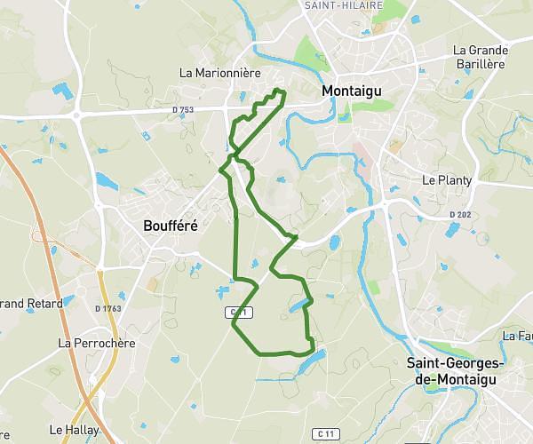
This running route covers 4.941mi starting from Monnières, Loire-Atlantique. The run is a loop trail and returns to the trailhead. This run is rated as easy, expect about 42m30s to complete it. The route has an elevation gain of 203ft and an elevation loss of 203ft.
echauffement
Route details
6.98mph
Speed
486 kcal
Calories burned
Loop trail
Route type
112ft
Min altitude
180ft
Max altitude
Route profile
203ft
Elevation gain
203ft
Elevation loss
112ft
Min altitude
180ft
Max altitude
How to get there
Trailhead: D 59, 44690 Monnières, France
GPS coordinates of the trailhead: 47.109325, -1.335035 / 47°6'33'' N, 1°20'6'' W