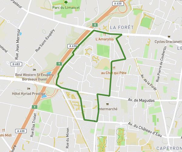
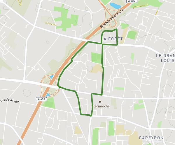
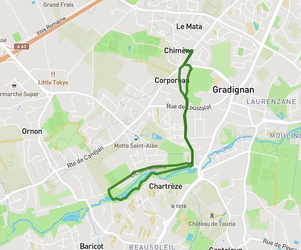
This running route covers 6.634mi starting from Gradignan, Gironde. The run is a loop trail and returns to the trailhead. This run is rated as moderate, expect about 1h11m to complete it. The route has an elevation gain of 482ft and an elevation loss of 482ft.
10,6 kms boucle
Route details
5.59mph
Speed
814 kcal
Calories burned
Loop trail
Route type
69ft
Min altitude
148ft
Max altitude
Route profile
482ft
Elevation gain
482ft
Elevation loss
69ft
Min altitude
148ft
Max altitude
How to get there
Trailhead: 5 Impasse Du Moulin De Tenet, 33170 Gradignan, France
GPS coordinates of the trailhead: 44.761931, -0.629318 / 44°45'42'' N, 0°37'45'' W