MapPlanner
18.256mi
Distance
1h50m
Duration
9.96mph
Speed
+2638ft
Elevation gain
-2635ft
Elevation loss
Strenuous
Level

Test elec

Route details

998 kcal
Calories burned
5.5%
Avg grade
Loop trail
Route type
0ft
Min altitude
791ft
Max altitude
Steep climb

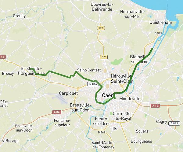
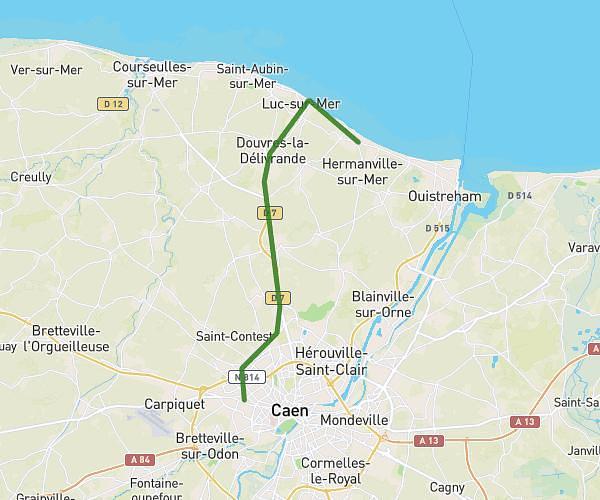
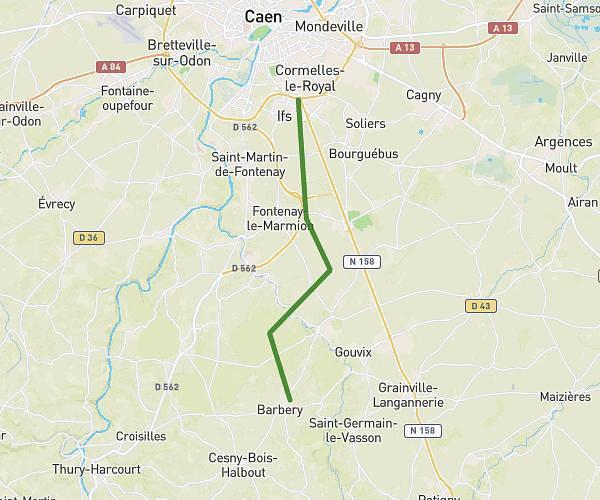
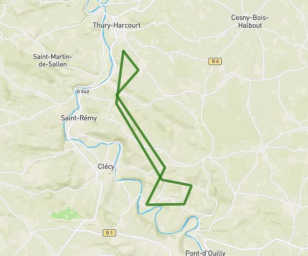
This cycling route covers 18.256mi starting from Esson, Calvados. The ride is a loop trail and returns to the trailhead. This route is rated as strenuous, plan for about 1h50m to complete it. The route has an elevation gain of 2638ft and an elevation loss of 2635ft.

Route profile

2638ft
Elevation gain
2635ft
Elevation loss
0ft
Min altitude
791ft
Max altitude

How to get there

Trailhead: 11 Rue De La Neuville, 14220 Esson, France

GPS coordinates of the trailhead: 48.97169, -0.46958 / 48°58'18'' N, 0°28'10'' W

Caution: May Cross Private Property

This route may pass through or near private property. Always respect posted signs, obtain permission where required, and follow local trespassing laws. MapPlanner does not guarantee public access along any route.

Safety Notice

Trail and road conditions may change without notice due to weather, construction, or other factors. Always verify current conditions before heading out. You are responsible for your own safety — follow local signage, obey traffic laws, and use your best judgment on the trail.