MapPlanner
6.903mi
Distance
2h2m
Duration
+374ft
Elevation gain
-371ft
Elevation loss
Easy
Level

Parco di Monza Vol.I

Route details

3.39mph
Speed
869 kcal
Calories burned
2.0%
Avg grade
Loop trail
Route type
551ft
Min altitude
656ft
Max altitude

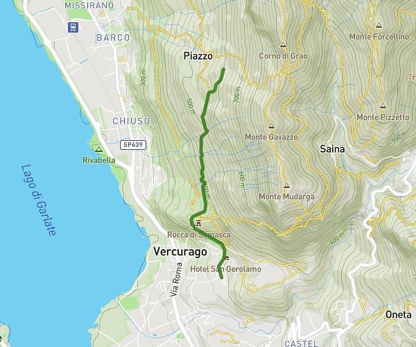
This hiking trail covers 6.903mi starting from Monza, Monza and Brianza. The hike is a loop trail and returns to the trailhead. This hike is rated as easy, plan for about 2h2m to complete it. The route has an elevation gain of 374ft and an elevation loss of 371ft.

Route profile

374ft
Elevation gain
371ft
Elevation loss
551ft
Min altitude
656ft
Max altitude

How to get there

Trailhead: Via Cesare Battisti, 20854 Monza

GPS coordinates of the trailhead: 45.6053, 9.26834 / 45°36'19'' N, 9°16'6'' E

Caution: May Cross Private Property

This route may pass through or near private property. Always respect posted signs, obtain permission where required, and follow local trespassing laws. MapPlanner does not guarantee public access along any route.

Safety Notice

Trail and road conditions may change without notice due to weather, construction, or other factors. Always verify current conditions before heading out. You are responsible for your own safety — follow local signage, obey traffic laws, and use your best judgment on the trail.