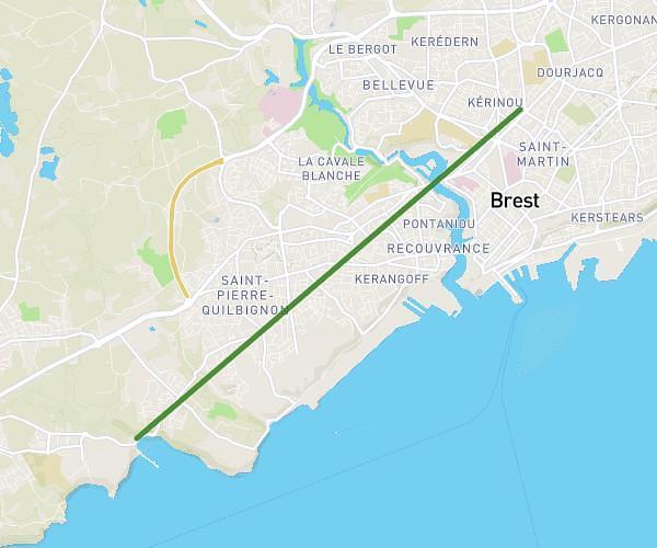
This running route covers 0.997mi starting from Brest, Finistère. The run does not return to the trailhead and ends near 20 Quai De La Douane, 29200 Brest, France. This run is rated as easy, expect about 5h to complete it. The route has an elevation gain of 7ft and an elevation loss of 10ft.
Mile
Route details
0.2mph
Speed
3430 kcal
Calories burned
Point to point
Route type
10ft
Min altitude
16ft
Max altitude
Route profile
7ft
Elevation gain
10ft
Elevation loss
10ft
Min altitude
16ft
Max altitude
How to get there
Trailhead: 26 Quai Commandant Malbert, 29200 Brest, France
GPS coordinates of the trailhead: 48.38042, -4.487406 / 48°22'49'' N, 4°29'14'' W