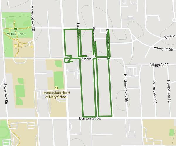
This walking route covers 4.624mi starting from Mackinac Island, Michigan. The walk is a loop trail and returns to the trailhead. This walk is rated as moderate, plan for about 1h39m to complete it. The route has an elevation gain of 538ft and an elevation loss of 538ft.
Geocache 2026
Route details
21:25/mi
Pace
404 kcal
Calories burned
Loop trail
Route type
650ft
Min altitude
801ft
Max altitude
Route profile
538ft
Elevation gain
538ft
Elevation loss
650ft
Min altitude
801ft
Max altitude
How to get there
Trailhead: 1891 Cadotte Avenue, Mackinac Island, Michigan 49757, United States
GPS coordinates of the trailhead: 45.850996, -84.624658 / 45°51'3'' N, 84°37'28'' W