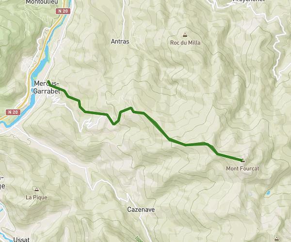
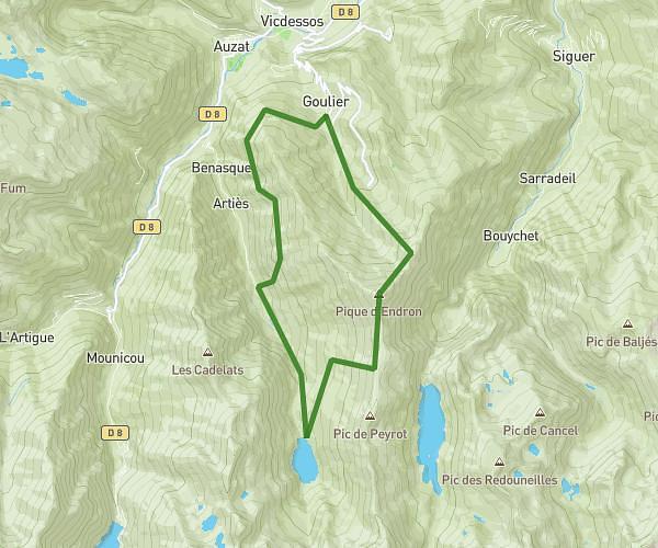
This hiking trail covers 11.395mi starting from Le Port, Ariège. The hike is a loop trail and returns to the trailhead. This hike is rated as strenuous, plan for about 9h10m to complete it. The route has an elevation gain of 5351ft and an elevation loss of 5351ft.
Bassiés Juin 2026
Route details
1.24mph
Speed
4422 kcal
Calories burned
17.8%
Avg grade
Loop trail
Route type
4974ft
Min altitude
6732ft
Max altitude
Steep climb
Route profile
5351ft
Elevation gain
5351ft
Elevation loss
4974ft
Min altitude
6732ft
Max altitude
How to get there
Trailhead: D 18, 09320 Le Port, France
GPS coordinates of the trailhead: 42.806447, 1.411527 / 42°48'23'' N, 1°24'41'' E