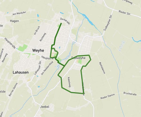
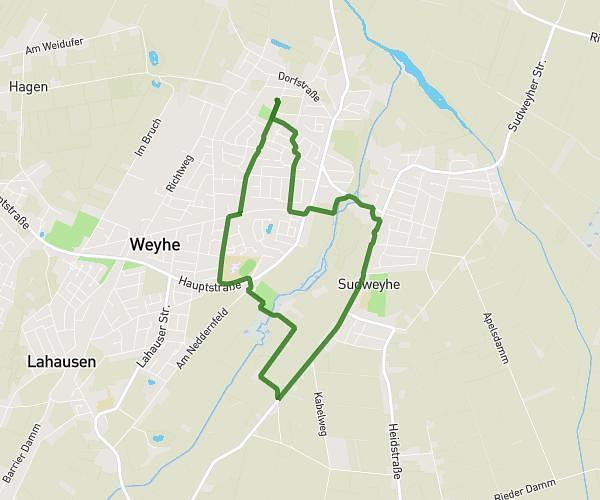
This running route covers 4.937mi starting from Weyhe, Lower Saxony. The run is a loop trail and returns to the trailhead. This run is rated as easy, expect about 59m35s to complete it. The route has an elevation gain of 16ft and an elevation loss of 13ft.
Laufen_2026_02_10_8km
Route details
4.97mph
Speed
681 kcal
Calories burned
Loop trail
Route type
16ft
Min altitude
26ft
Max altitude
Route profile
16ft
Elevation gain
13ft
Elevation loss
16ft
Min altitude
26ft
Max altitude
How to get there
Trailhead: Auf Dem Geestfelde 87, 28844 Weyhe, Germany
GPS coordinates of the trailhead: 52.993205, 8.865258 / 52°59'35'' N, 8°51'54'' E