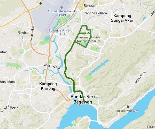
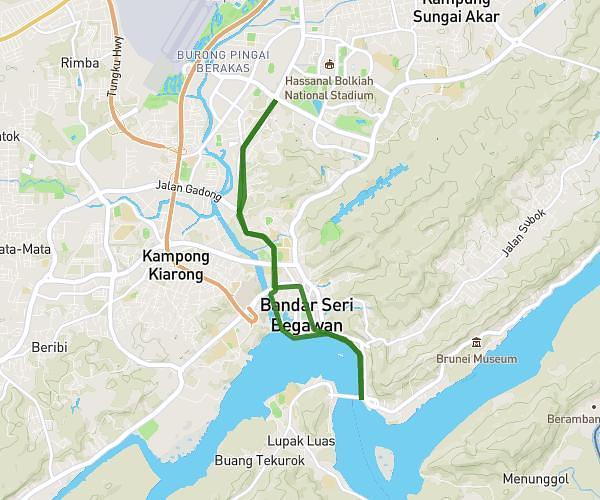
This running route covers 10.458mi starting from Bandar Seri Begawan, Brunei-Muara. The run is a loop trail and returns to the trailhead. This run is rated as hard, expect about 1h52m to complete it. The route has an elevation gain of 23ft and an elevation loss of 33ft.
SUNDAY LSD 16+K WLB
Route details
5.6mph
Speed
1281 kcal
Calories burned
Loop trail
Route type
16ft
Min altitude
49ft
Max altitude
Route profile
23ft
Elevation gain
33ft
Elevation loss
16ft
Min altitude
49ft
Max altitude
How to get there
Trailhead: Kianggeh, Bandar Seri Begawan, Brunei-Muara, Brunei
GPS coordinates of the trailhead: 4.90595, 114.93105 / 4°54'21'' N, 114°55'51'' E