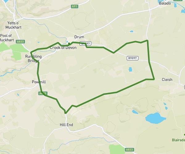
This cycling route covers 8.585mi starting from Kinross, Scotland. The ride does not return to the trailhead and ends near 1 Burnbank Meadows, Kinross, KY13 8GE, United Kingdom. This route is rated as easy, plan for about 22m39s to complete it. The route has an elevation gain of 112ft and an elevation loss of 203ft.
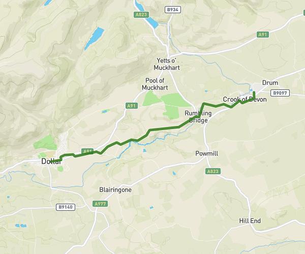
Crook of Devon to Kinross
Route details
199 kcal
Calories burned
0.7%
Avg grade
Point to point
Route type
358ft
Min altitude
482ft
Max altitude
Route profile
112ft
Elevation gain
203ft
Elevation loss
358ft
Min altitude
482ft
Max altitude
How to get there
Trailhead: Fossoway School Road, Crook of Devon, Kinross, KY13 0UL, United Kingdom
GPS coordinates of the trailhead: 56.185842, -3.551868 / 56°11'9'' N, 3°33'6'' W