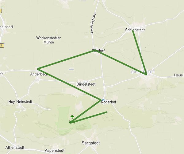
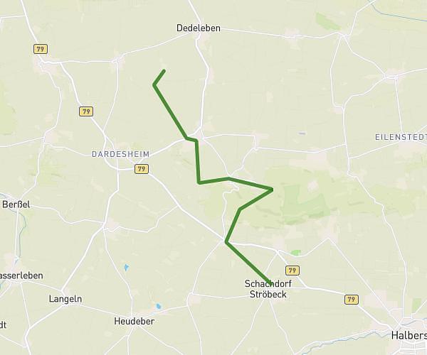
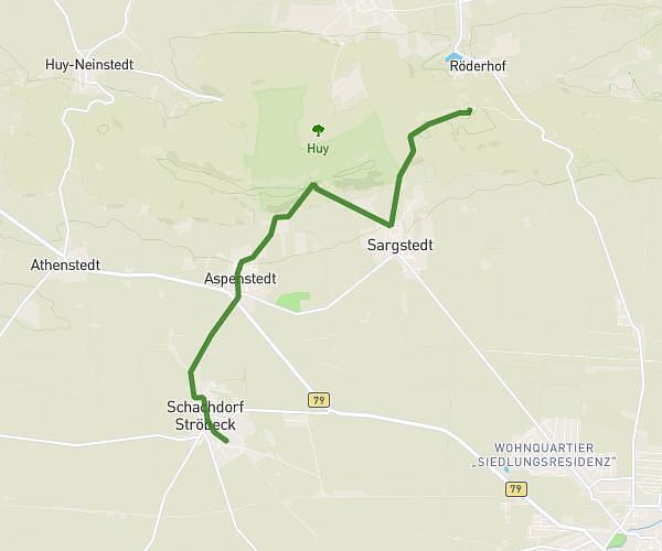
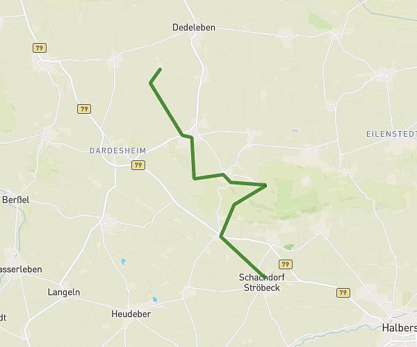
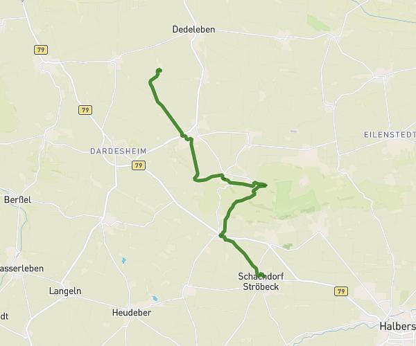
This running route covers 15.691mi starting from Huy, Saxony-Anhalt. The run does not return to the trailhead and ends near Zur Huysburg 1, 38838 Huy, Germany. This run is rated as moderate, expect about 2h48m to complete it. The route has an elevation gain of 1220ft and an elevation loss of 623ft.
Strecke Schlanstedt - Huysburg
Route details
5.6mph
Speed
1921 kcal
Calories burned
Point to point
Route type
295ft
Min altitude
1024ft
Max altitude
Route profile
1220ft
Elevation gain
623ft
Elevation loss
295ft
Min altitude
1024ft
Max altitude
How to get there
Trailhead: Burg 1, 38838 Huy, Germany
GPS coordinates of the trailhead: 52.010127, 11.029364 / 52°0'36'' N, 11°1'45'' E