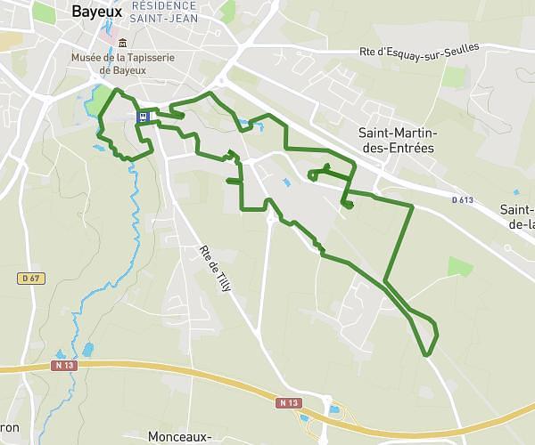
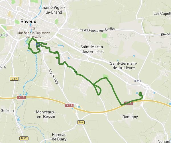
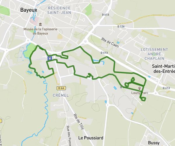
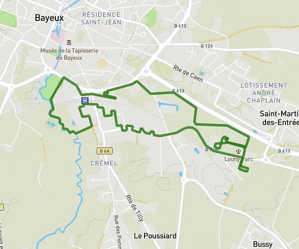
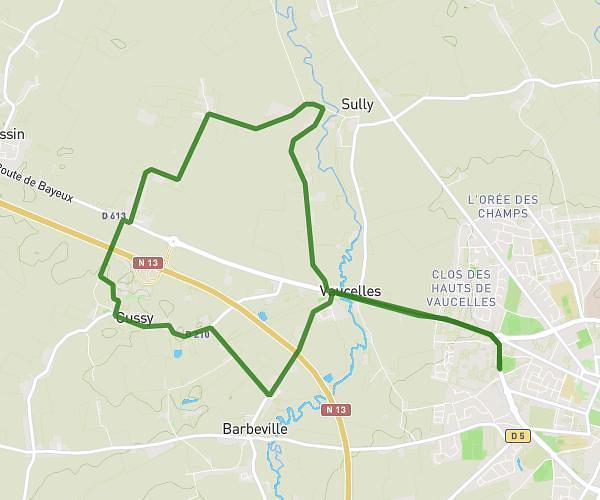
This running route covers 2.227mi starting from Bernesq, Calvados. The run is a loop trail and returns to the trailhead. This run is rated as easy, expect about 39m27s to complete it. The route has an elevation gain of 102ft and an elevation loss of 72ft.
Bernesq
Route details
3.39mph
Speed
451 kcal
Calories burned
Loop trail
Route type
39ft
Min altitude
141ft
Max altitude
Route profile
102ft
Elevation gain
72ft
Elevation loss
39ft
Min altitude
141ft
Max altitude
How to get there
Trailhead: 35 Route De Dungy, 14710 Bernesq, France
GPS coordinates of the trailhead: 49.274025, -0.939235 / 49°16'26'' N, 0°56'21'' W