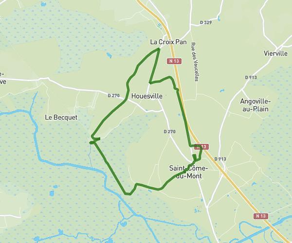
This running route covers 2.544mi starting from Rubercy, Calvados. The run is a loop trail and returns to the trailhead. This run is rated as easy, expect about 37m40s to complete it. The route has an elevation gain of 194ft and an elevation loss of 194ft.
Rubercy
Route details
4.05mph
Speed
431 kcal
Calories burned
Loop trail
Route type
85ft
Min altitude
240ft
Max altitude
Route profile
194ft
Elevation gain
194ft
Elevation loss
85ft
Min altitude
240ft
Max altitude
How to get there
Trailhead: 229 Route De La Source, 14710 Rubercy, France
GPS coordinates of the trailhead: 49.283361, -0.878838 / 49°17'0'' N, 0°52'43'' W