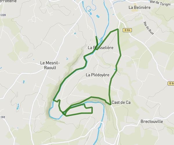
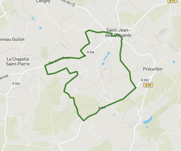
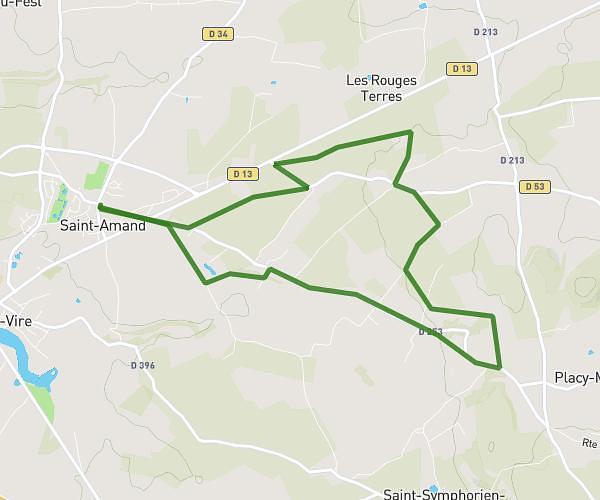
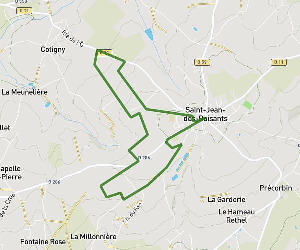
This running route covers 8.147mi starting from Saint-Lô, Manche. The run is a loop trail and returns to the trailhead. This run is rated as hard, expect about 1h27m to complete it. The route has an elevation gain of 249ft and an elevation loss of 180ft.
Test
Route details
5.62mph
Speed
995 kcal
Calories burned
Loop trail
Route type
49ft
Min altitude
292ft
Max altitude
Route profile
249ft
Elevation gain
180ft
Elevation loss
49ft
Min altitude
292ft
Max altitude
How to get there
Trailhead: 53 Rue Torteron, 50000 Saint-Lô, France
GPS coordinates of the trailhead: 49.114527, -1.095936 / 49°6'52'' N, 1°5'45'' W