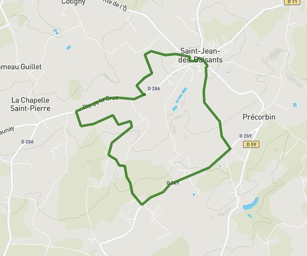
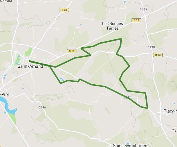
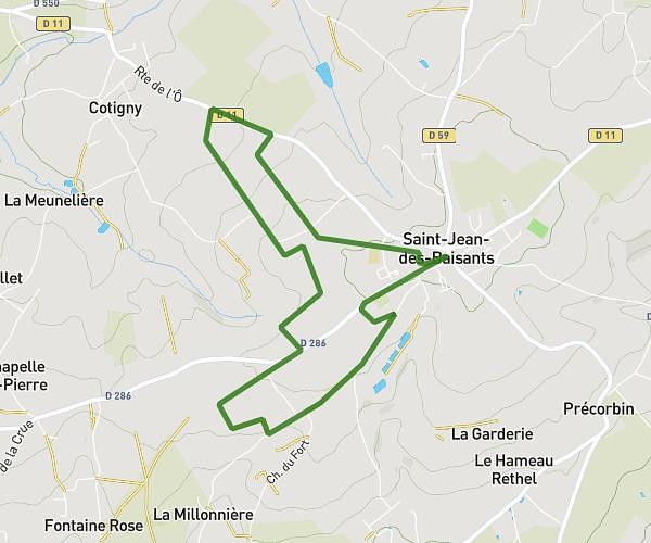
This running route covers 6.023mi starting from Condé-sur-Vire, Manche. The run is a loop trail and returns to the trailhead. This run is rated as moderate, expect about 1h36m to complete it. The route has an elevation gain of 610ft and an elevation loss of 610ft.
Roches
Route details
3.73mph
Speed
1108 kcal
Calories burned
Loop trail
Route type
75ft
Min altitude
351ft
Max altitude
Route profile
610ft
Elevation gain
610ft
Elevation loss
75ft
Min altitude
351ft
Max altitude
How to get there
Trailhead: 7 Route De La Base De Canoë, 50890 Condé-sur-Vire, France
GPS coordinates of the trailhead: 49.041671, -1.043057 / 49°2'30'' N, 1°2'35'' W