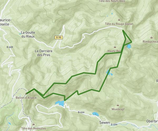
This hiking trail covers 7.235mi starting from Gerbépal, Vosges. The hike is a loop trail and returns to the trailhead. This hike is rated as hard, plan for about 2h46m to complete it. The route has an elevation gain of 1401ft and an elevation loss of 1414ft.
Roche des chiens/roches des bruyères
Route details
2.62mph
Speed
1233 kcal
Calories burned
7.4%
Avg grade
Loop trail
Route type
2615ft
Min altitude
3366ft
Max altitude
Route profile
1401ft
Elevation gain
1414ft
Elevation loss
2615ft
Min altitude
3366ft
Max altitude
How to get there
Trailhead: Le Haut Des Frêts, 88430 Gerbépal
GPS coordinates of the trailhead: 48.12134, 6.92748 / 48°7'16'' N, 6°55'38'' E