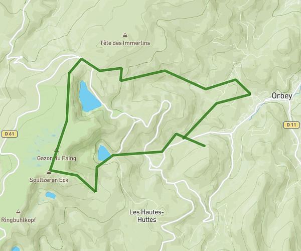
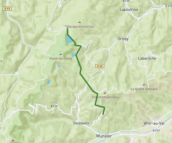
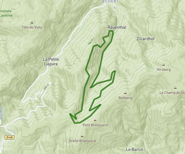
This hiking trail covers 22.555mi starting from Saint-Dié-des-Vosges, Vosges. The hike does not return to the trailhead and ends near Promenade De La Pierre D'appel, 88480 Raon-l'Étape. This hike is rated as strenuous, plan for about 11h to complete it. The route has an elevation gain of 3451ft and an elevation loss of 3514ft.
Saint dié /raon l'étape
Route details
2.05mph
Speed
4843 kcal
Calories burned
5.8%
Avg grade
Point to point
Route type
965ft
Min altitude
2897ft
Max altitude
Route profile
3451ft
Elevation gain
3514ft
Elevation loss
965ft
Min altitude
2897ft
Max altitude
How to get there
Trailhead: Ruelle Du Sauveur, 88100 Saint-Dié-des-Vosges
GPS coordinates of the trailhead: 48.28298, 6.94583 / 48°16'58'' N, 6°56'44'' E