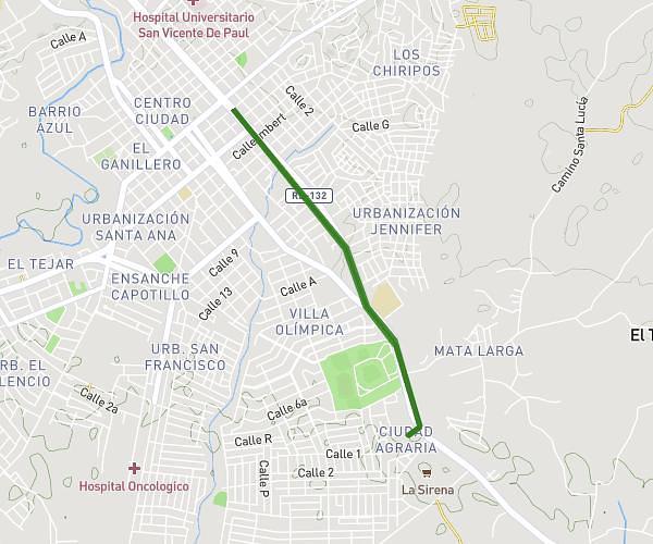
This running route covers 3.272mi starting from San Francisco de Macorís, Duarte. The run is a loop trail and returns to the trailhead. This run is rated as easy, expect about 35m6s to complete it. The route has an elevation gain of 125ft and an elevation loss of 125ft.
Ruta 5K Semana Saludable
Route details
5.59mph
Speed
401 kcal
Calories burned
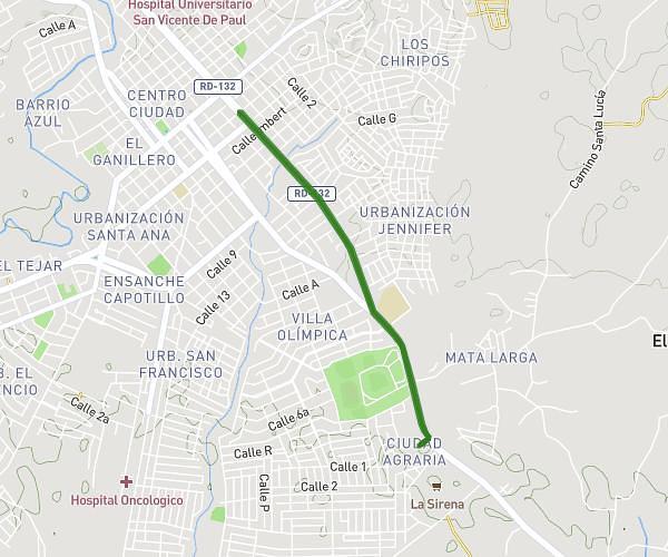
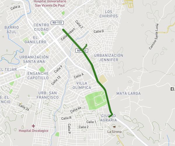
Loop trail
Route type
325ft
Min altitude
397ft
Max altitude
Route profile
125ft
Elevation gain
125ft
Elevation loss
325ft
Min altitude
397ft
Max altitude
How to get there
Trailhead: Nagua - San Fco. Macorís, San Francisco de Macorís, Duarte, Dominican Republic
GPS coordinates of the trailhead: 19.279041, -70.241967 / 19°16'44'' N, 70°14'31'' W