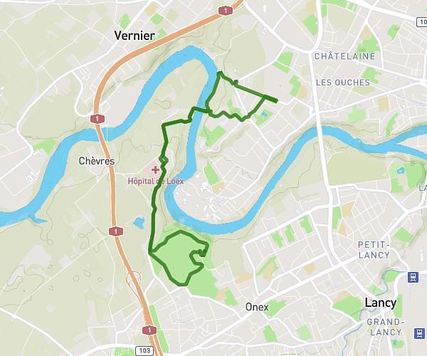
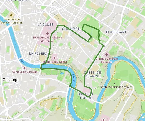
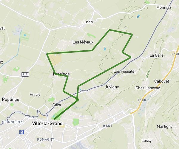
This running route covers 15.752mi starting from Chézery-Forens, Ain. The run does not return to the trailhead and ends near Chemin Des Peupliers, 01200 Valserhône. This run is rated as strenuous, expect about 6h52m to complete it. The route has an elevation gain of 302ft and an elevation loss of 3802ft.
Jour 2
Route details
2.29mph
Speed
4711 kcal
Calories burned
Point to point
Route type
2208ft
Min altitude
5709ft
Max altitude
Route profile
302ft
Elevation gain
3802ft
Elevation loss
2208ft
Min altitude
5709ft
Max altitude
How to get there
Trailhead: Chemin De La Charnat, 01410 Chézery-Forens
GPS coordinates of the trailhead: 46.25791, 5.91401 / 46°15'28'' N, 5°54'50'' E