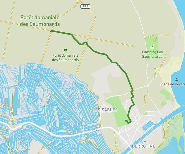
This running route covers 1.189mi starting from Saint-Xandre, Charente-Maritime. The run is a loop trail and returns to the trailhead. This run is rated as easy, expect about 13m to complete it. The route has an elevation gain of 20ft and an elevation loss of 16ft.
1er parcours
Route details
5.49mph
Speed
149 kcal
Calories burned
Loop trail
Route type
89ft
Min altitude
105ft
Max altitude
Route profile
20ft
Elevation gain
16ft
Elevation loss
89ft
Min altitude
105ft
Max altitude
How to get there
Trailhead: Rue Des Ménestrels, 17138 Saint-Xandre
GPS coordinates of the trailhead: 46.20004, -1.11104 / 46°12'0'' N, 1°6'39'' W