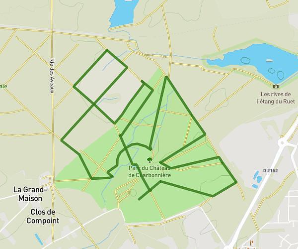
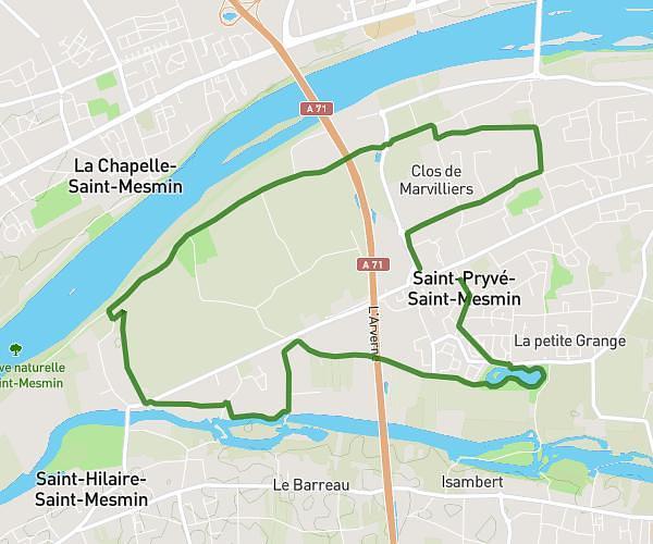
This running route covers 6.51mi starting from Saint-Jean-le-Blanc, Loiret. The run does not return to the trailhead and ends near Rue De La Levée, 45560 Saint-Denis-en-Val. This run is rated as moderate, expect about 1h3m to complete it. The route has an elevation gain of 259ft and an elevation loss of 259ft.
séance du dimanche
Route details
6.2mph
Speed
720 kcal
Calories burned
Point to point
Route type
295ft
Min altitude
331ft
Max altitude
Route profile
259ft
Elevation gain
259ft
Elevation loss
295ft
Min altitude
331ft
Max altitude
How to get there
Trailhead: Rue De La Levée, 45650 Saint-Jean-le-Blanc
GPS coordinates of the trailhead: 47.89552, 1.94049 / 47°53'43'' N, 1°56'25'' E