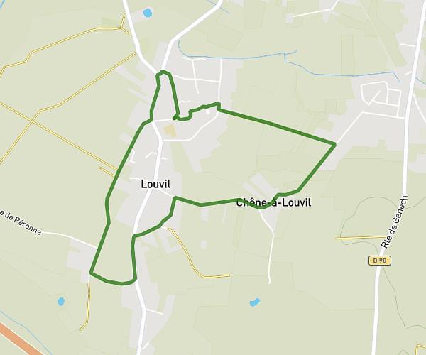
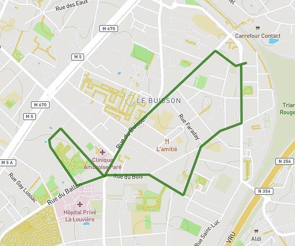
This running route covers 11.772mi starting from Estaimpuis, Nord. The run is a loop trail and returns to the trailhead. This run is rated as strenuous, expect about 3h9m to complete it. The route has an elevation gain of 66ft and an elevation loss of 62ft.
estaimpuis 18km 2024
Route details
3.73mph
Speed
2166 kcal
Calories burned
Loop trail
Route type
59ft
Min altitude
121ft
Max altitude
Route profile
66ft
Elevation gain
62ft
Elevation loss
59ft
Min altitude
121ft
Max altitude
How to get there
Trailhead: Rue De Menin-Menenstraat - Rue D'estaimpuis, 7730 Estaimpuis, France
GPS coordinates of the trailhead: 50.71037, 3.24855 / 50°42'37'' N, 3°14'54'' E