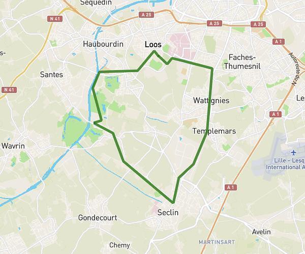
This running route covers 18.63mi starting from Wattrelos, Nord. The run does not return to the trailhead and ends near Rue Du Chemin De Fer 1, 7730 Estaimpuis, Hainaut, Belgium. This run is rated as strenuous, expect about 4h59m to complete it. The route has an elevation gain of 381ft and an elevation loss of 417ft.
estaimpuis 30km
Route details
3.73mph
Speed
3428 kcal
Calories burned
Point to point
Route type
52ft
Min altitude
138ft
Max altitude
Route profile
381ft
Elevation gain
417ft
Elevation loss
52ft
Min altitude
138ft
Max altitude
How to get there
Trailhead: Rue De Menin-Menenstraat - Rue D'estaimpuis, 59150 Wattrelos, France
GPS coordinates of the trailhead: 50.71033, 3.24858 / 50°42'37'' N, 3°14'54'' E