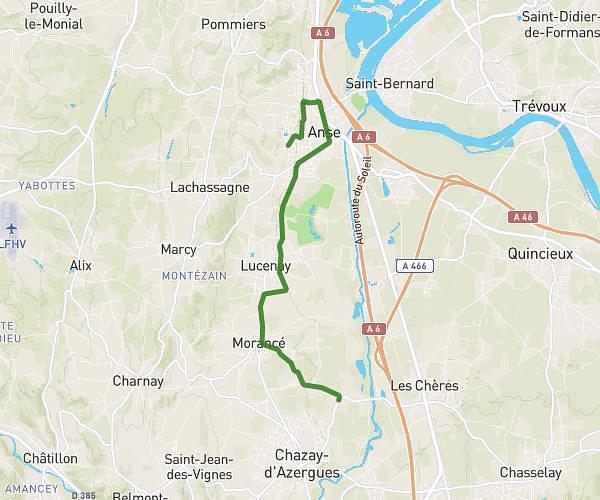
This running route covers 3.554mi starting from Limonest, Rhône. The run is a loop trail and returns to the trailhead. This run is rated as easy, expect about 34m to complete it. The route has an elevation gain of 341ft and an elevation loss of 351ft.
Challenge Summer Body
Route details
6.27mph
Speed
389 kcal
Calories burned
Loop trail
Route type
873ft
Min altitude
1033ft
Max altitude
Route profile
341ft
Elevation gain
351ft
Elevation loss
873ft
Min altitude
1033ft
Max altitude
How to get there
Trailhead: Impasse De Champivost, 69760 Limonest, France
GPS coordinates of the trailhead: 45.809755, 4.778204 / 45°48'35'' N, 4°46'41'' E