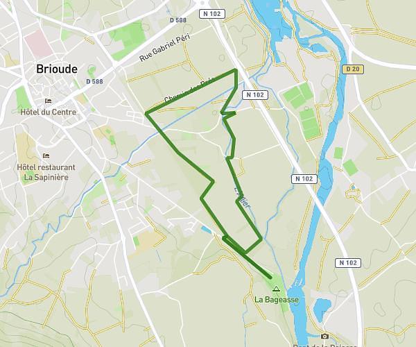
This walking route covers 11.413mi starting from Saint-Georges-d'Aurac, Haute-Loire. The walk does not return to the trailhead and ends near 3 Rue Adrien Faure, 43270 Allègre, France. This walk is rated as strenuous, plan for about 4h5m to complete it. The route has an elevation gain of 2523ft and an elevation loss of 1375ft.
Azinières - Allègre
Route details
21:27/mi
Pace
1000 kcal
Calories burned
Point to point
Route type
2234ft
Min altitude
3783ft
Max altitude
Route profile
2523ft
Elevation gain
1375ft
Elevation loss
2234ft
Min altitude
3783ft
Max altitude
How to get there
Trailhead: 17 Rue Du Champ Coulé, 43230 Saint-Georges-d'Aurac, France
GPS coordinates of the trailhead: 45.15165, 3.56672 / 45°9'5'' N, 3°34'0'' E