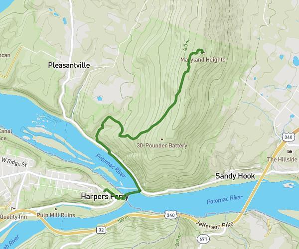
This hiking trail covers 2.835mi starting from Myersville, Maryland. The hike does not return to the trailhead and ends near 9125 Crystal Falls Drive, Boonsboro, Maryland 21713, United States. This hike is rated as moderate, plan for about 45m33s to complete it. The route has an elevation gain of 787ft and an elevation loss of 184ft.
AT Annapolis Rock max climb
Route details
3.73mph
Speed
347 kcal
Calories burned
6.5%
Avg grade
Point to point
Route type
1217ft
Min altitude
1834ft
Max altitude
Route profile
787ft
Elevation gain
184ft
Elevation loss
1217ft
Min altitude
1834ft
Max altitude
How to get there
Trailhead: 11174 Baltimore National Pike, Myersville, Maryland 21773, United States
GPS coordinates of the trailhead: 39.535589, -77.604529 / 39°32'8'' N, 77°36'16'' W