This hiking trail covers 0.797mi starting from Noirefontaine, Doubs. The hike does not return to the trailhead and ends near D 36e2, 25190 Montécheroux. This hike is rated as easy, plan for about 25m38s to complete it. The route has an elevation gain of 387ft and an elevation loss of 0ft.
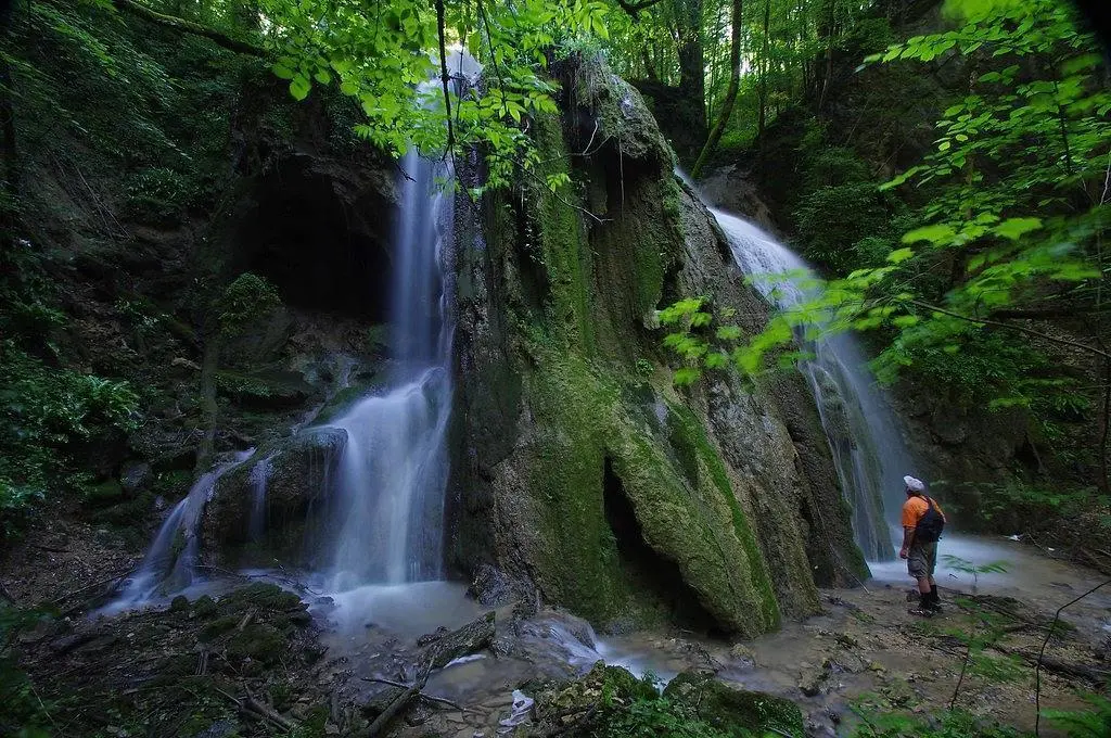
Cascade de l'oeil de boeuf
Route details
1.86mph
Speed
207 kcal
Calories burned
9.2%
Avg grade
Point to point
Route type
1194ft
Min altitude
1581ft
Max altitude
Steep climb
Route profile
387ft
Elevation gain
0ft
Elevation loss
1194ft
Min altitude
1581ft
Max altitude
How to get there
Trailhead: Rue Du Relais Postal, 25190 Noirefontaine
GPS coordinates of the trailhead: 47.34678, 6.7619 / 47°20'48'' N, 6°45'42'' E