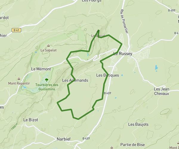
This hiking trail covers 2.747mi starting from Consolation-Maisonnettes, Doubs. The hike is a loop trail and returns to the trailhead. This hike is rated as hard, plan for about 1h28m to complete it. The route has an elevation gain of 1234ft and an elevation loss of 1234ft.
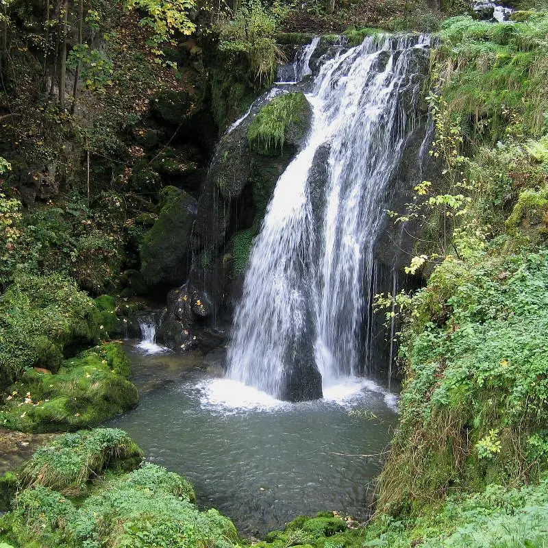
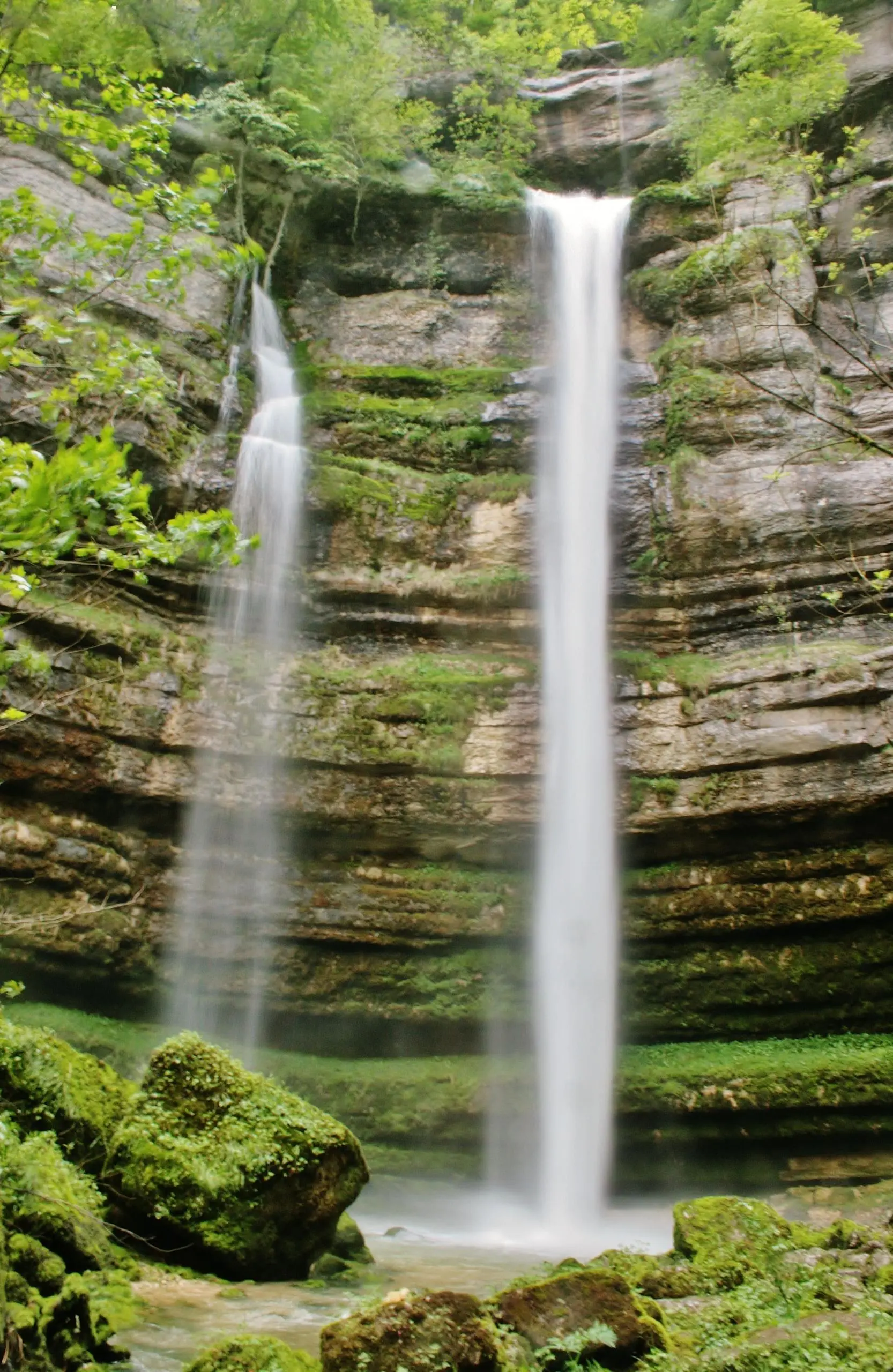
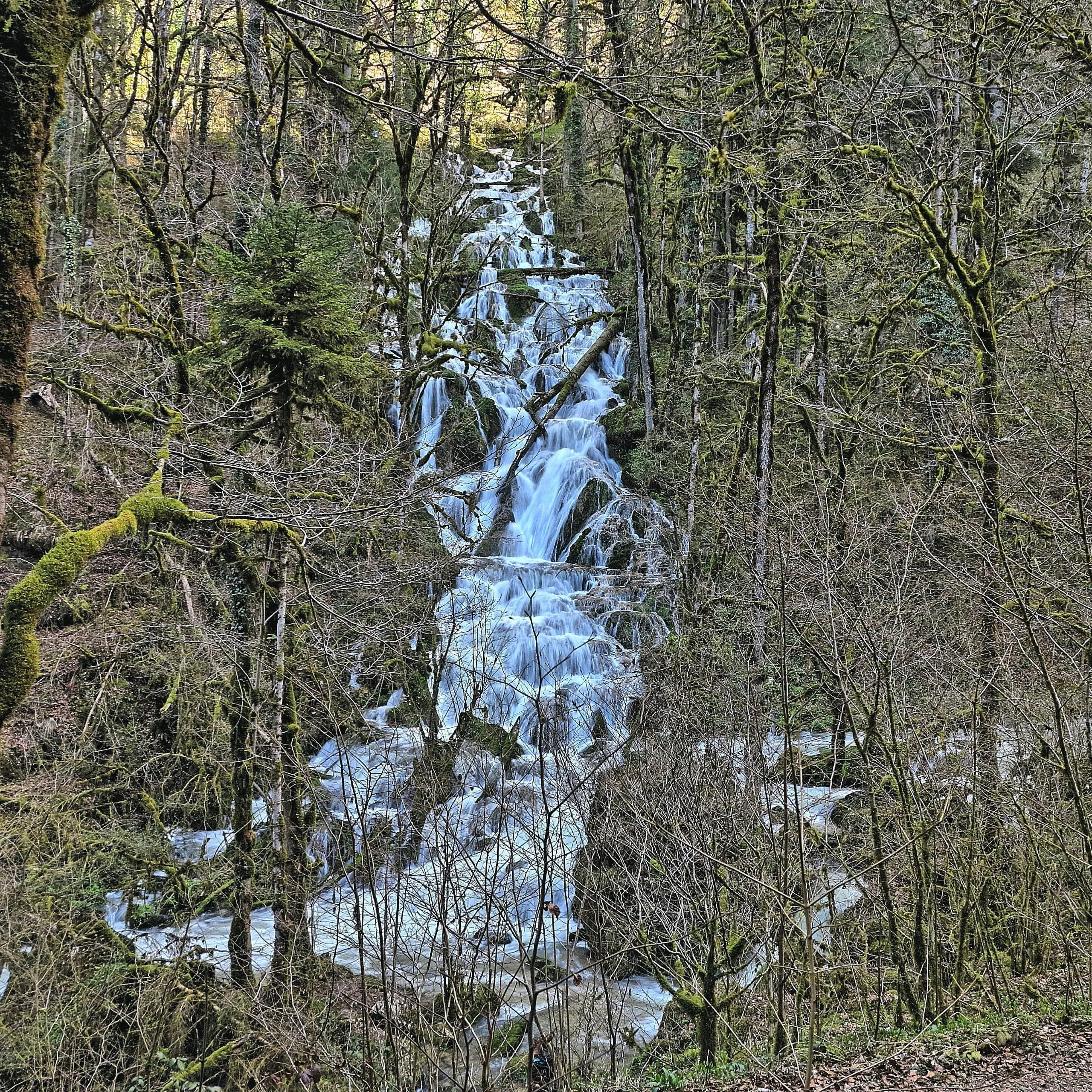
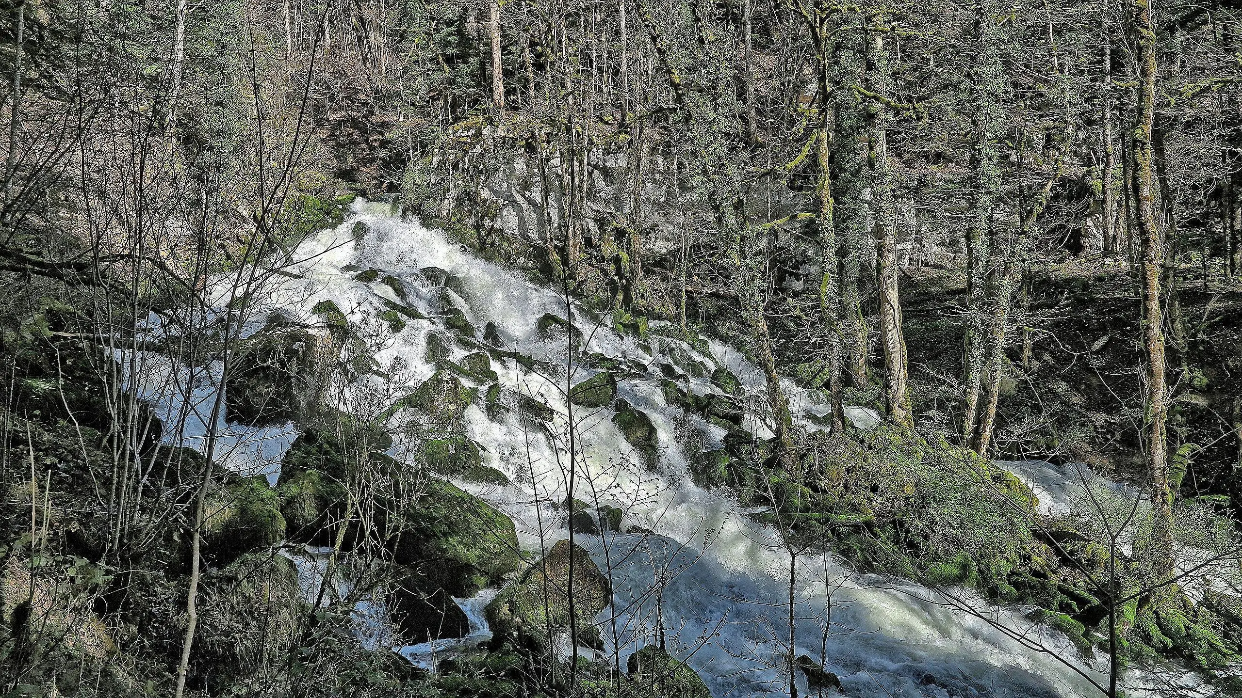
Cascade du cirque de Consolation
Route details
1.86mph
Speed
707 kcal
Calories burned
17.0%
Avg grade
Loop trail
Route type
1650ft
Min altitude
2060ft
Max altitude
Steep climb
Route profile
1234ft
Elevation gain
1234ft
Elevation loss
1650ft
Min altitude
2060ft
Max altitude
How to get there
Trailhead: D 377, 25390 Consolation-Maisonnettes
GPS coordinates of the trailhead: 47.15834, 6.60576 / 47°9'30'' N, 6°36'20'' E