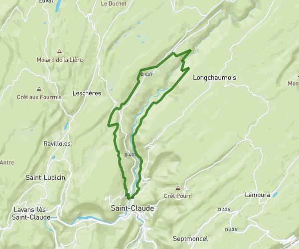
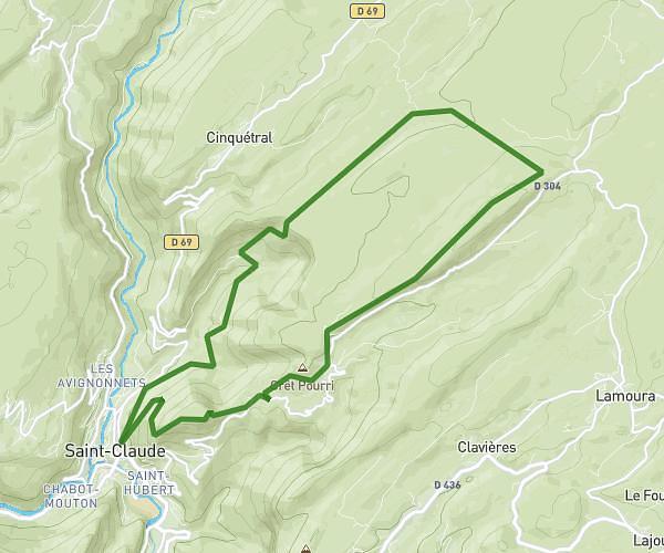
This hiking trail covers 2.746mi starting from Menétrux-en-Joux, Jura. The hike does not return to the trailhead and ends near Route Du Saut Girard, 39130 La Chaux-du-Dombief. This hike is rated as moderate, plan for about 1h28m to complete it. The route has an elevation gain of 1135ft and an elevation loss of 338ft.
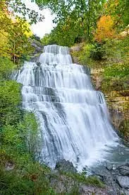
Cascades du Hérisson
Route details
1.86mph
Speed
700 kcal
Calories burned
10.2%
Avg grade
Point to point
Route type
1703ft
Min altitude
2520ft
Max altitude
Steep climb
Route profile
1135ft
Elevation gain
338ft
Elevation loss
1703ft
Min altitude
2520ft
Max altitude
How to get there
Trailhead: Route Des Cascades, 39130 Menétrux-en-Joux
GPS coordinates of the trailhead: 46.61462, 5.84724 / 46°36'52'' N, 5°50'50'' E