MapPlanner
4.352mi
Distance
3h30m
Duration
+968ft
Elevation gain
-968ft
Elevation loss
Moderate
Level

Les cascades du Hérisson

Route details

1.24mph
Speed
1573 kcal
Calories burned
8.4%
Avg grade
Loop trail
Route type
1814ft
Min altitude
2533ft
Max altitude
Steep climb

This hiking trail covers 4.352mi starting from La Chaux-du-Dombief, Jura. The hike is a loop trail and returns to the trailhead. This hike is rated as moderate, plan for about 3h30m to complete it. The route has an elevation gain of 968ft and an elevation loss of 968ft.

Description of the route by the creator

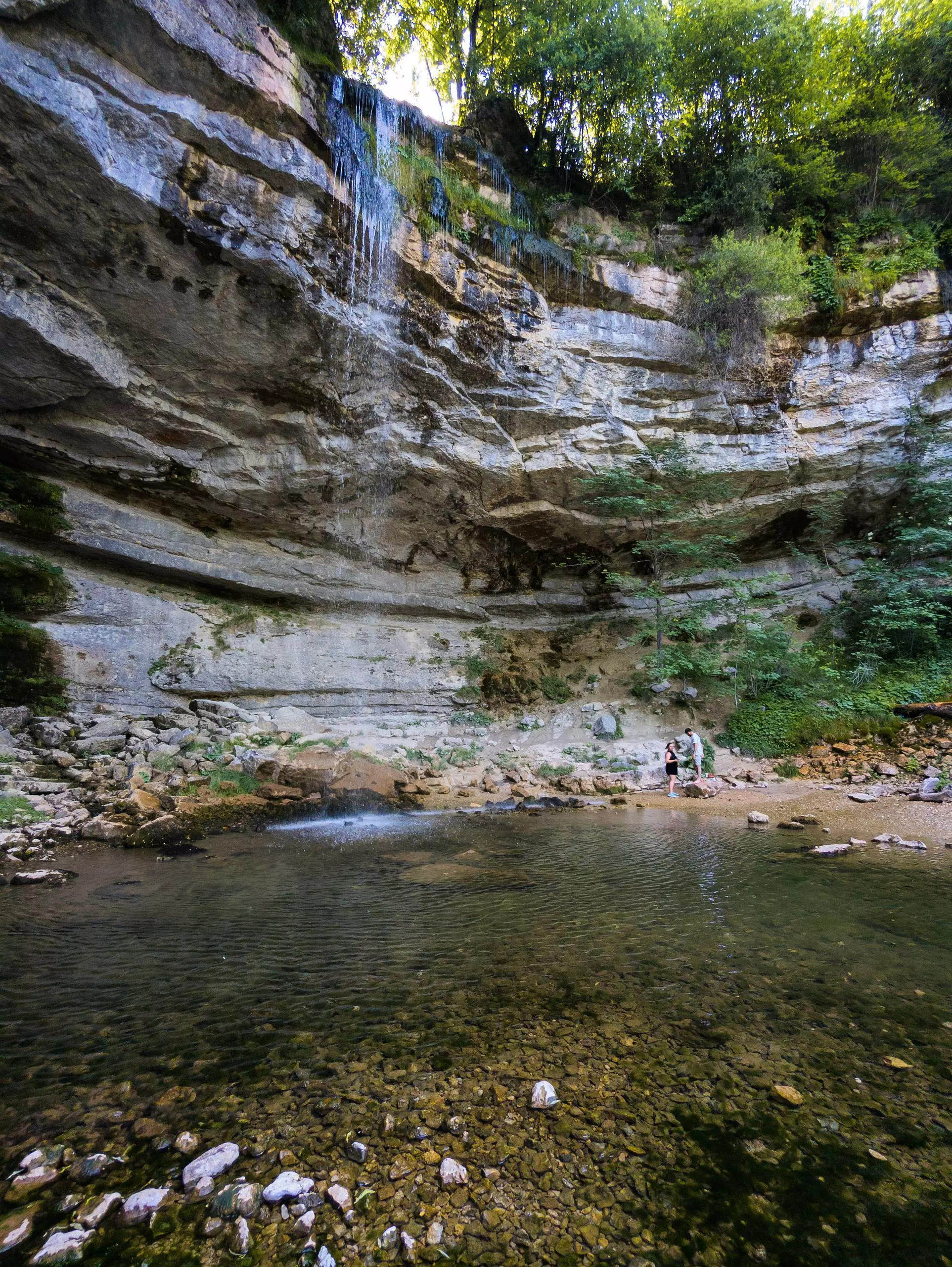
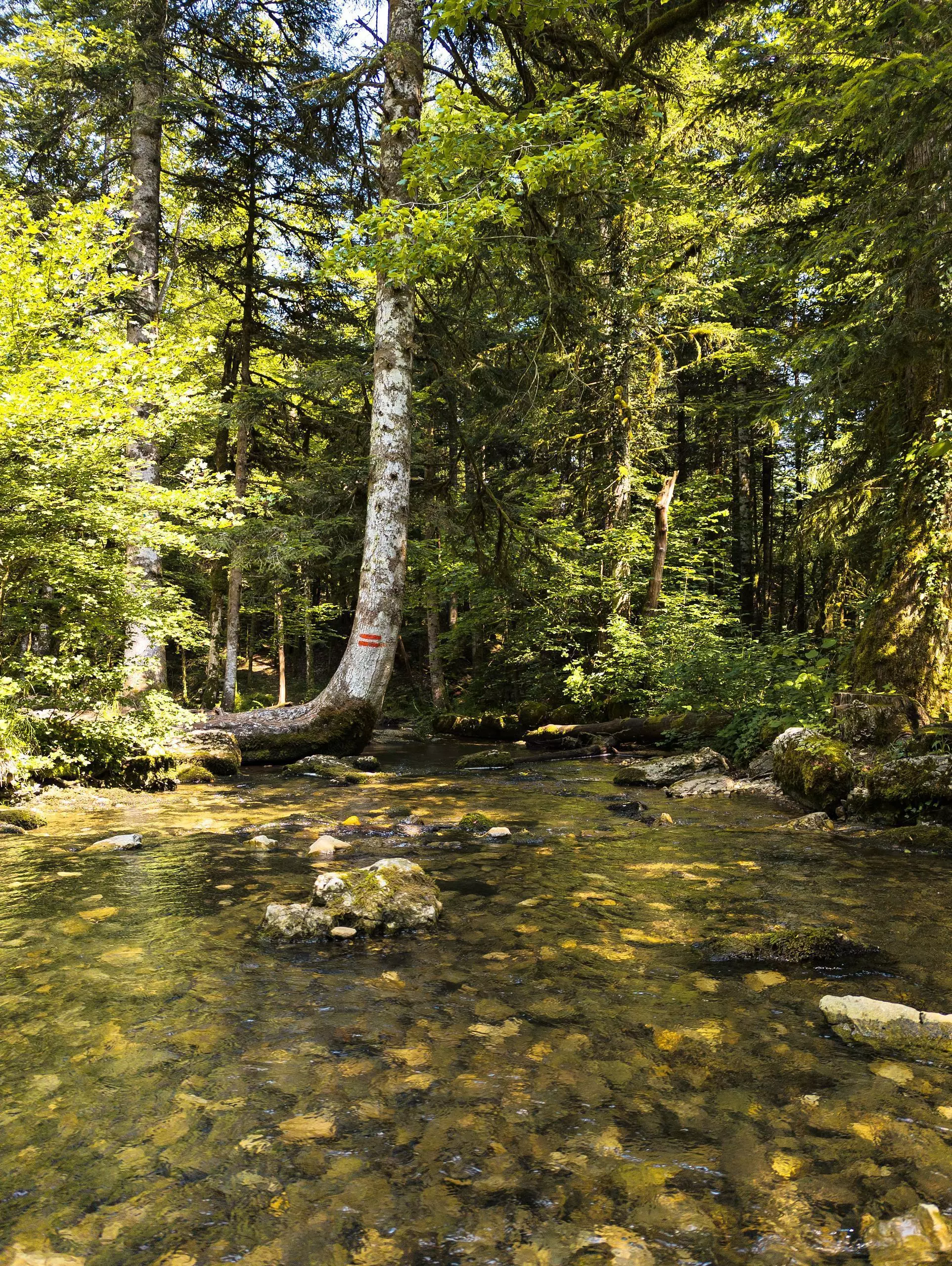
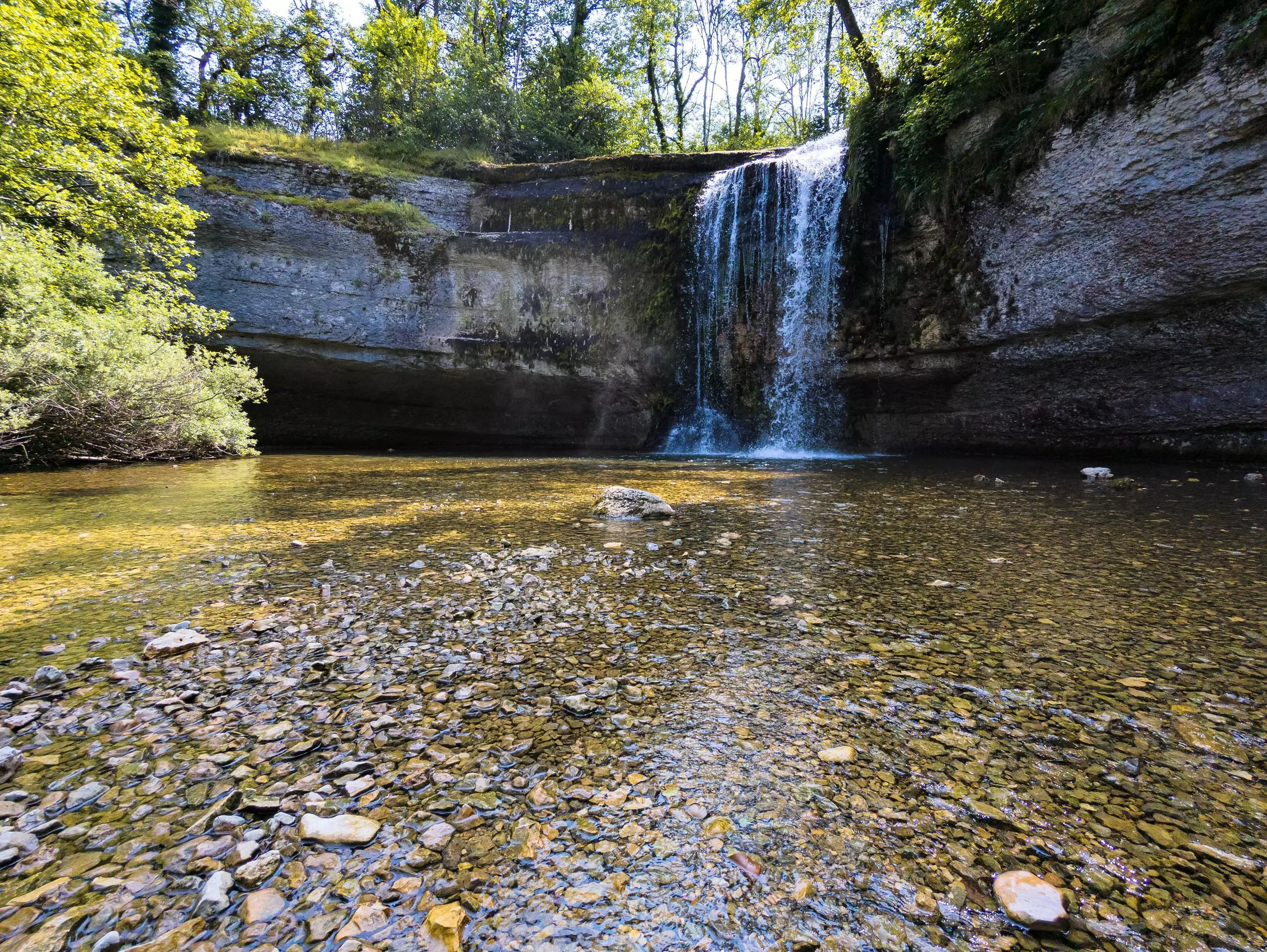
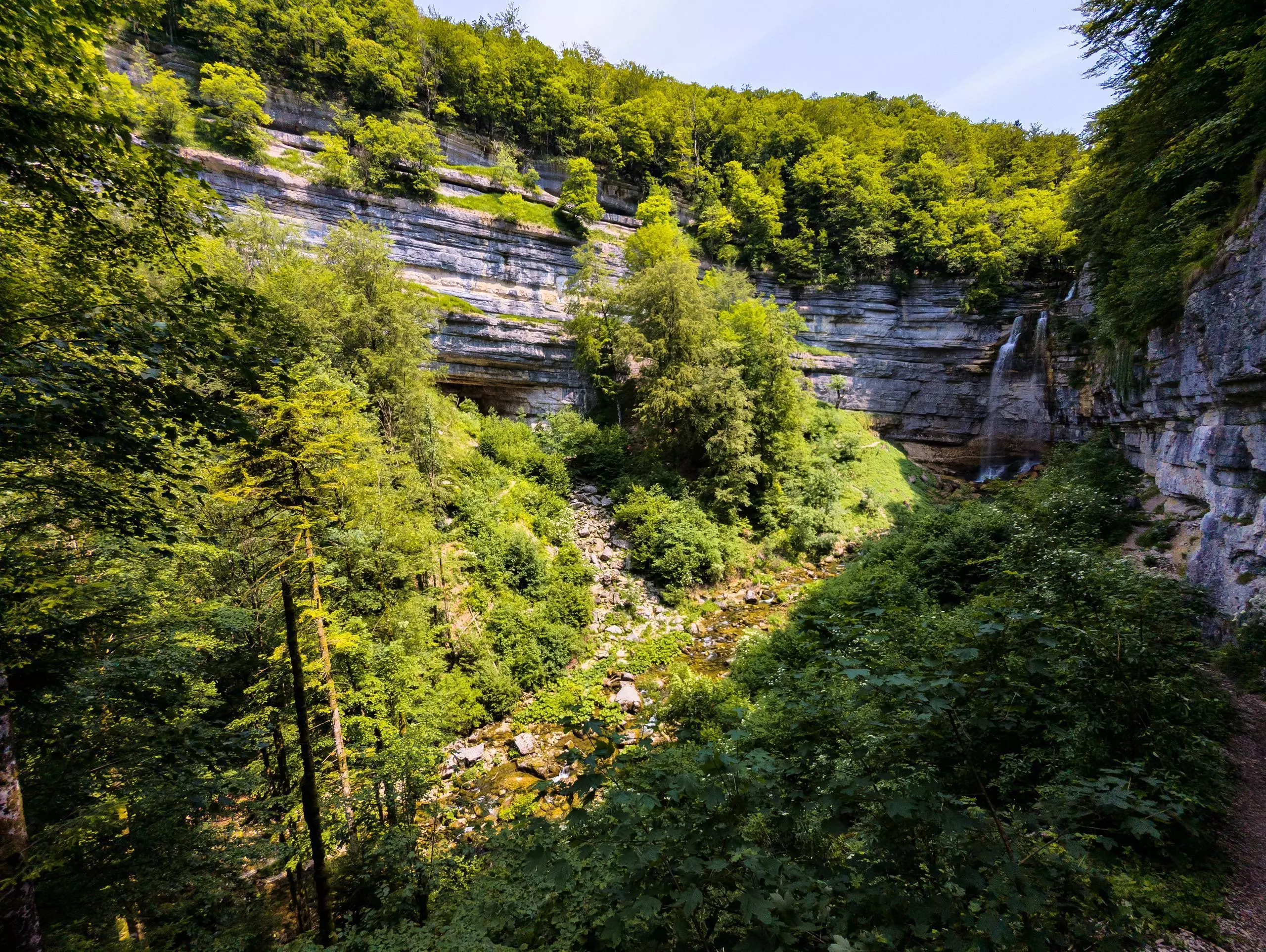
A walk along the 7 Hérisson waterfalls (the most visited natural site in Franche-Comté!). There's little difficulty, just follow the signs. Then take the path in the opposite direction. It can start either from the Ilay parking lot (downhill then uphill) or from the Maison des Cascades (the other way round).

(Description automatically translated)

Route profile

968ft
Elevation gain
968ft
Elevation loss
1814ft
Min altitude
2533ft
Max altitude

How to get there

Trailhead: D 39, 39150 La Chaux-du-Dombief, France

GPS coordinates of the trailhead: 46.61537, 5.88544 / 46°36'55'' N, 5°53'7'' E

Caution: May Cross Private Property

This route may pass through or near private property. Always respect posted signs, obtain permission where required, and follow local trespassing laws. MapPlanner does not guarantee public access along any route.

Safety Notice

Trail and road conditions may change without notice due to weather, construction, or other factors. Always verify current conditions before heading out. You are responsible for your own safety — follow local signage, obey traffic laws, and use your best judgment on the trail.