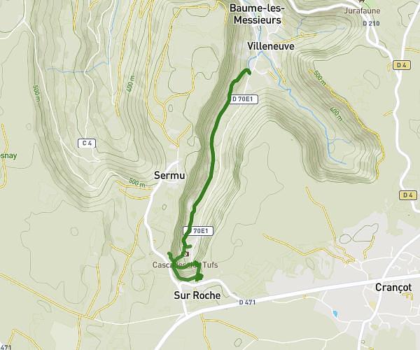
This hiking trail covers 3.495mi starting from Hauteroche, Jura. The hike is a loop trail and returns to the trailhead. This hike is rated as easy, plan for about 1h to complete it. The route has an elevation gain of 328ft and an elevation loss of 331ft.
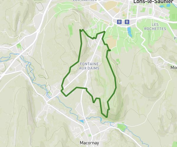
Crancot cabane de chasse
Route details
3.5mph
Speed
432 kcal
Calories burned
3.6%
Avg grade
Loop trail
Route type
1657ft
Min altitude
1732ft
Max altitude
Route profile
328ft
Elevation gain
331ft
Elevation loss
1657ft
Min altitude
1732ft
Max altitude
How to get there
Trailhead: Rue Du Cressard, 39570 Hauteroche
GPS coordinates of the trailhead: 46.68839, 5.65887 / 46°41'18'' N, 5°39'31'' E