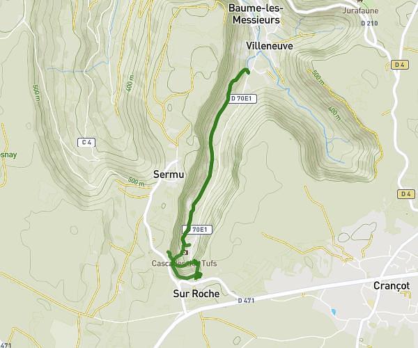
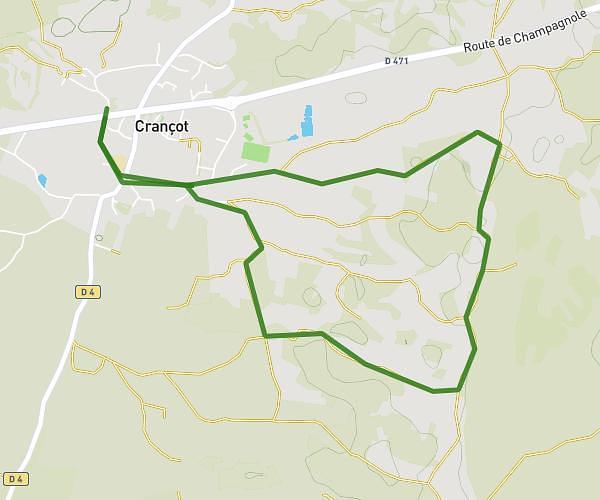
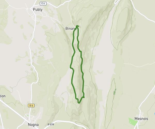
This hiking trail covers 4.227mi starting from Lons-le-Saunier, Jura. The hike is a loop trail and returns to the trailhead. This hike is rated as hard, plan for about 38m to complete it. The route has an elevation gain of 971ft and an elevation loss of 968ft.
Montciel Mancy
Route details
6.67mph
Speed
285 kcal
Calories burned
8.7%
Avg grade
Loop trail
Route type
846ft
Min altitude
1345ft
Max altitude
Steep climb
Route profile
971ft
Elevation gain
968ft
Elevation loss
846ft
Min altitude
1345ft
Max altitude
How to get there
Trailhead: Chemin De Montciel, 39000 Lons-le-Saunier
GPS coordinates of the trailhead: 46.66694, 5.53759 / 46°40'0'' N, 5°32'15'' E