MapPlanner
6.421mi
Distance
4h30m
Duration
+1457ft
Elevation gain
-1457ft
Elevation loss
Moderate
Level

Belvédère des 4 lacs (Ilay - Maclu)

Viewpoint from the 4 Lakes belvedere

Route details

1.43mph
Speed
2025 kcal
Calories burned
8.6%
Avg grade
Loop trail
Route type
2516ft
Min altitude
3215ft
Max altitude
Steep climb

This hiking trail covers 6.421mi starting from La Chaux-du-Dombief, Jura. The hike is a loop trail and returns to the trailhead. This hike is rated as moderate, plan for about 4h30m to complete it. The route has an elevation gain of 1457ft and an elevation loss of 1457ft.

Description of the route by the creator

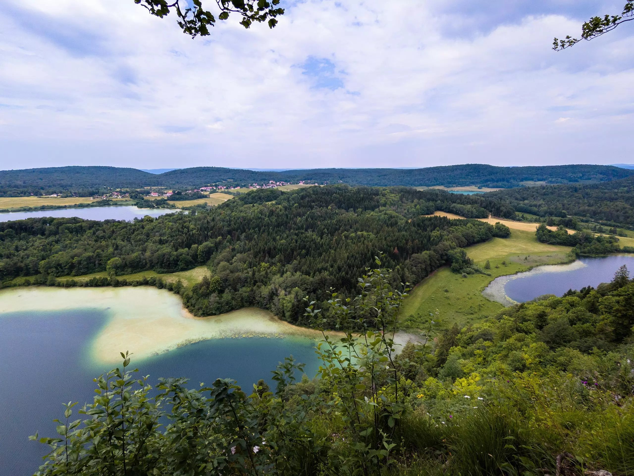
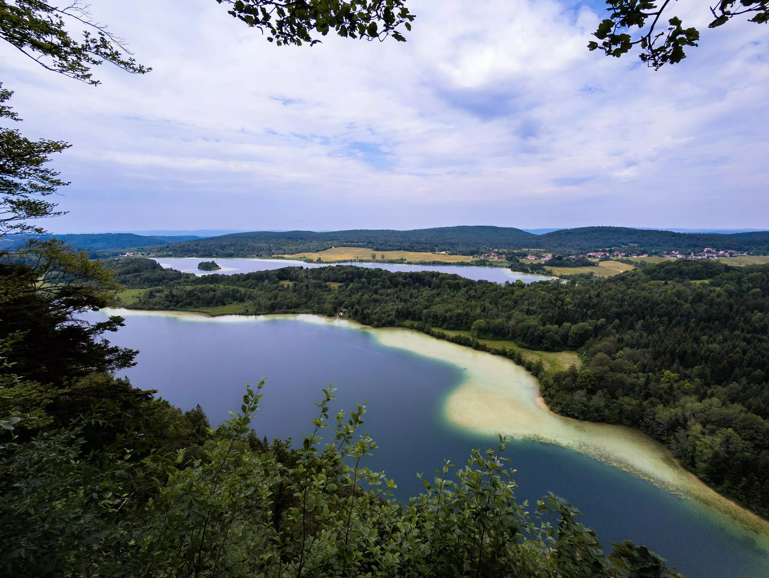
Park in the same parking lot as for the Hérisson waterfalls, but head in the opposite direction towards Lac d'Ilay. Once you've reached the lake, follow the signs to the various lookouts. The hike presents little difficulty, with a slight climb at the start and then a gentle slope down to the lakes. The walk ends along the lakes to the parking lot.

(Description automatically translated)

Route profile

1457ft
Elevation gain
1457ft
Elevation loss
2516ft
Min altitude
3215ft
Max altitude

How to get there

Trailhead: D 39, 39150 La Chaux-du-Dombief, France

GPS coordinates of the trailhead: 46.61545, 5.88541 / 46°36'55'' N, 5°53'7'' E

Caution: May Cross Private Property

This route may pass through or near private property. Always respect posted signs, obtain permission where required, and follow local trespassing laws. MapPlanner does not guarantee public access along any route.

Safety Notice

Trail and road conditions may change without notice due to weather, construction, or other factors. Always verify current conditions before heading out. You are responsible for your own safety — follow local signage, obey traffic laws, and use your best judgment on the trail.