This hiking trail covers 0.418mi starting from Laissey, Doubs. The hike does not return to the trailhead and ends near Rue De La Chapelle, 25820 Laissey. This hike is rated as easy, plan for about 13m27s to complete it. The route has an elevation gain of 62ft and an elevation loss of 108ft.
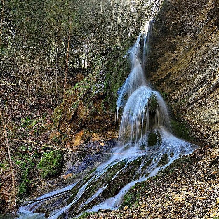
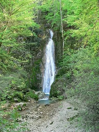
Cascades du Rognon
Route details
1.86mph
Speed
99 kcal
Calories burned
7.7%
Avg grade
Point to point
Route type
860ft
Min altitude
938ft
Max altitude
Route profile
62ft
Elevation gain
108ft
Elevation loss
860ft
Min altitude
938ft
Max altitude
How to get there
Trailhead: D 30, 25820 Laissey
GPS coordinates of the trailhead: 47.29791, 6.23729 / 47°17'52'' N, 6°14'14'' E