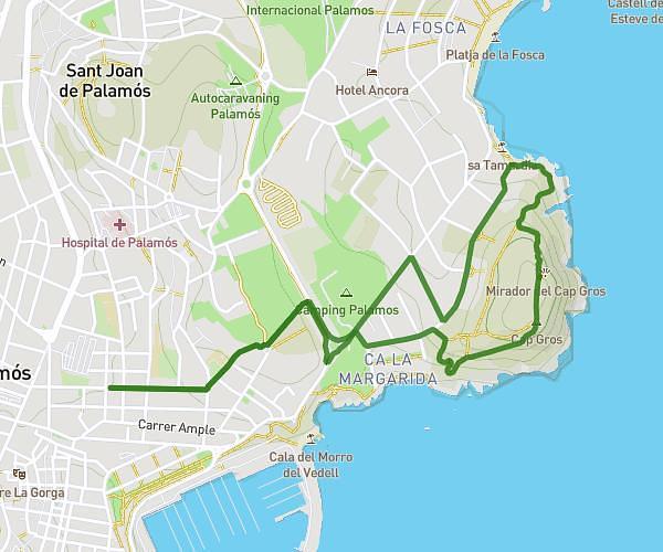
This walking route covers 3.603mi starting from Palamós, Girona. The walk is a loop trail and returns to the trailhead. This walk is rated as moderate, plan for about 1h17m to complete it. The route has an elevation gain of 325ft and an elevation loss of 325ft.
Fosca
Route details
21:22/mi
Pace
314 kcal
Calories burned
Loop trail
Route type
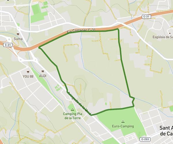
13ft
Min altitude
102ft
Max altitude
Route profile
325ft
Elevation gain
325ft
Elevation loss
13ft
Min altitude
102ft
Max altitude
How to get there
Trailhead: Carrer De Mossèn Jacint Verdaguer 19, 17230 Palamós, Girona, Spain
GPS coordinates of the trailhead: 41.84921, 3.13137 / 41°50'57'' N, 3°7'52'' E