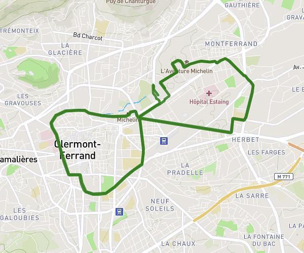
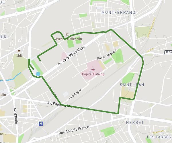
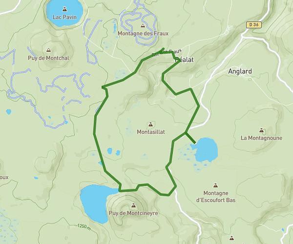
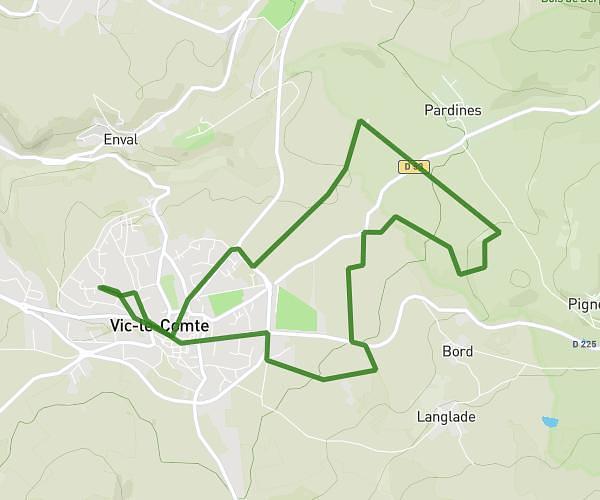
This running route covers 2.853mi starting from Saint-Sandoux, Puy-de-Dôme. The run is a loop trail and returns to the trailhead. This run is rated as easy, expect about 30m36s to complete it. The route has an elevation gain of 361ft and an elevation loss of 364ft.
4,5
Route details
5.59mph
Speed
350 kcal
Calories burned
Loop trail
Route type
1713ft
Min altitude
1942ft
Max altitude
Route profile
361ft
Elevation gain
364ft
Elevation loss
1713ft
Min altitude
1942ft
Max altitude
How to get there
Trailhead: 9 Chemin De Peyronneyre, 63450 Saint-Sandoux, France
GPS coordinates of the trailhead: 45.642931, 3.102075 / 45°38'34'' N, 3°6'7'' E