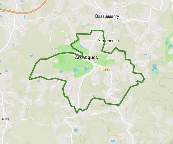
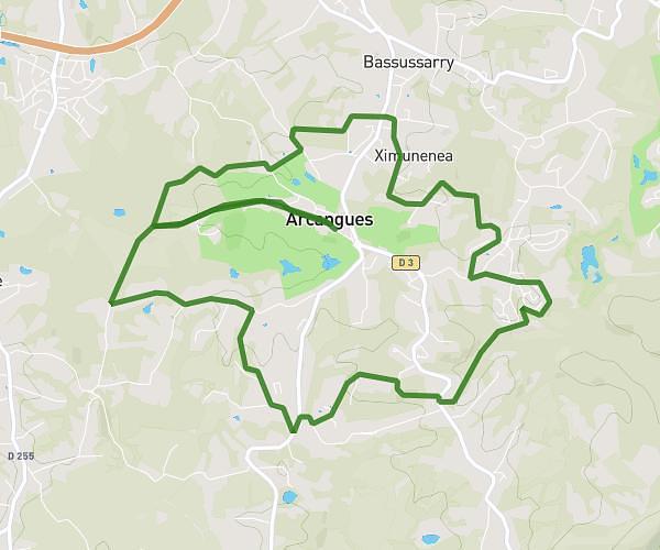
This running route covers 5.385mi starting from Hasparren, Pyrénées-Atlantiques. The run is a loop trail and returns to the trailhead. This run is rated as moderate, expect about 2h9m to complete it. The route has an elevation gain of 853ft and an elevation loss of 846ft.
Labiry2
Route details
2.49mph
Speed
1486 kcal
Calories burned
Loop trail
Route type
279ft
Min altitude
587ft
Max altitude
Route profile
853ft
Elevation gain
846ft
Elevation loss
279ft
Min altitude
587ft
Max altitude
How to get there
Trailhead: Chemin D'uharteborda, 64240 Hasparren
GPS coordinates of the trailhead: 43.38319, -1.3554 / 43°22'59'' N, 1°21'19'' W