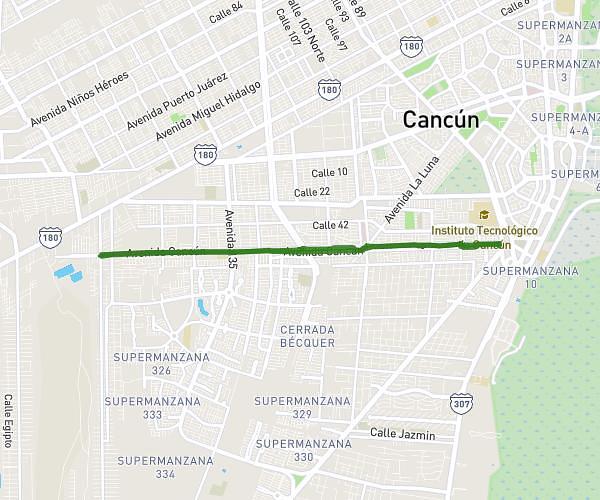
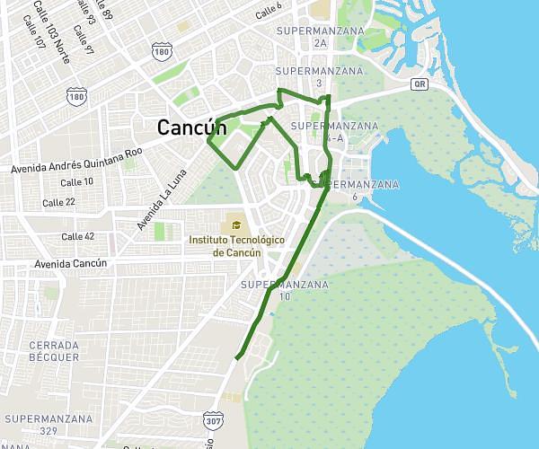
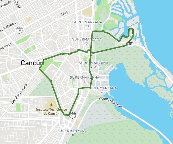
This running route covers 14.293mi starting from Cancún, Quintana Roo. The run is a loop trail and returns to the trailhead. This run is rated as hard, expect about 2h33m to complete it. The route has an elevation gain of 597ft and an elevation loss of 600ft.
Superando límites
Route details
5.6mph
Speed
1749 kcal
Calories burned
Loop trail
Route type
0ft
Min altitude
49ft
Max altitude
Route profile
597ft
Elevation gain
600ft
Elevation loss
0ft
Min altitude
49ft
Max altitude
How to get there
Trailhead: Avenida Xcaret 24, 77505 Cancún, Quintana Roo, Mexico
GPS coordinates of the trailhead: 21.153569, -86.838443 / 21°9'12'' N, 86°50'18'' W