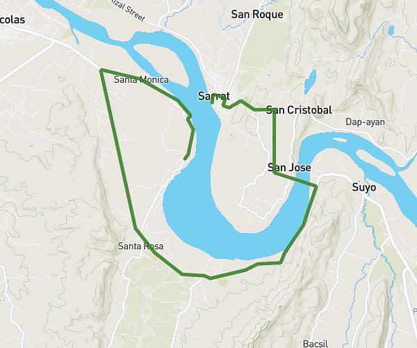
This running route covers 11.345mi starting from Sarrat, Ilocos Norte. The run does not return to the trailhead and ends near Marcos Boulevard San Vicente, Sarrat, Ilocos Norte, Philippines. This run is rated as strenuous, expect about 2h2m to complete it. The route has an elevation gain of 719ft and an elevation loss of 712ft.
18K
Route details
5.58mph
Speed
1395 kcal
Calories burned
Point to point
Route type
43ft
Min altitude
187ft
Max altitude
Route profile
719ft
Elevation gain
712ft
Elevation loss
43ft
Min altitude
187ft
Max altitude
How to get there
Trailhead: 2914, Sarrat, Ilocos Norte, Philippines
GPS coordinates of the trailhead: 18.143236, 120.637699 / 18°8'35'' N, 120°38'15'' E