This walking route covers 7.221mi starting from Savignac, Aveyron. The walk does not return to the trailhead and ends near 5 Promenade Du Guiraudet, 12200 Villefranche-de-Rouergue, France. This walk is rated as hard, plan for about 1h56m to complete it. The route has an elevation gain of 486ft and an elevation loss of 932ft.
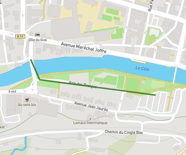
Arrivée à Villefranche-de-Rouergue
Route details
16:06/mi
Pace
474 kcal
Calories burned
Point to point
Route type
814ft
Min altitude
1319ft
Max altitude
Route profile
486ft
Elevation gain
932ft
Elevation loss
814ft
Min altitude
1319ft
Max altitude
How to get there
Trailhead: Route De Cahors, 12200 Savignac, France
GPS coordinates of the trailhead: 44.366934, 1.962269 / 44°22'0'' N, 1°57'44'' E