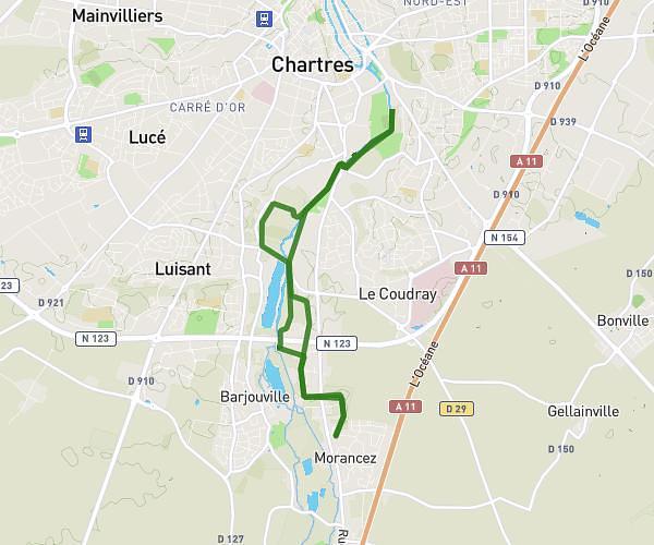
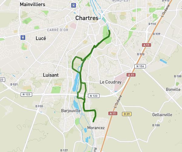
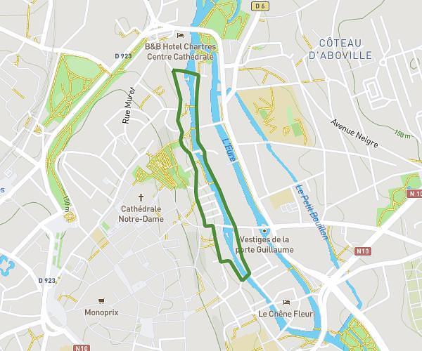
This running route covers 11.793mi starting from Courville-sur-Eure, Eure-et-Loir. The run is a loop trail and returns to the trailhead. This run is rated as strenuous, expect about 1h43m to complete it. The route has an elevation gain of 387ft and an elevation loss of 387ft.
19 Km Courville
Route details
6.84mph
Speed
1184 kcal
Calories burned
Loop trail
Route type
528ft
Min altitude
686ft
Max altitude
Route profile
387ft
Elevation gain
387ft
Elevation loss
528ft
Min altitude
686ft
Max altitude
How to get there
Trailhead: Rue Georges Fessard, 28190 Courville-sur-Eure
GPS coordinates of the trailhead: 48.44733, 1.23632 / 48°26'50'' N, 1°14'10'' E