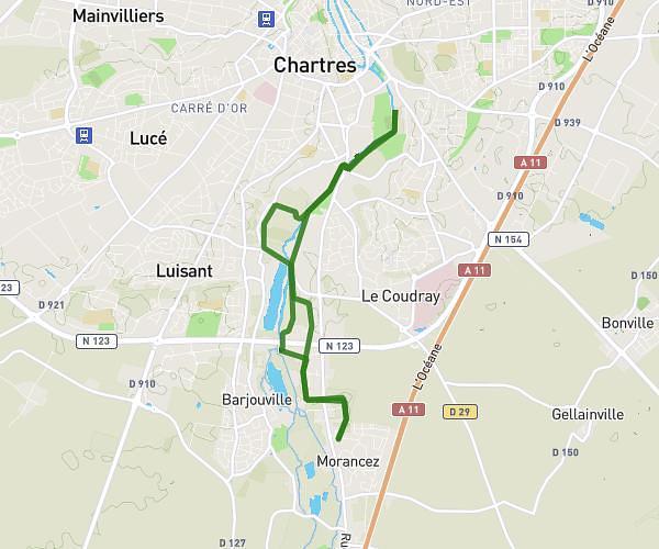
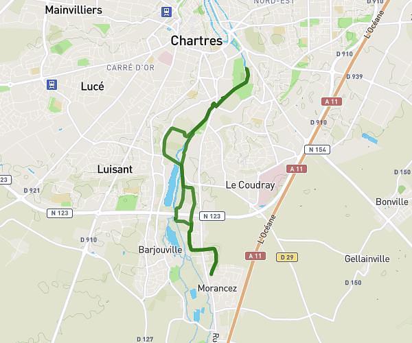
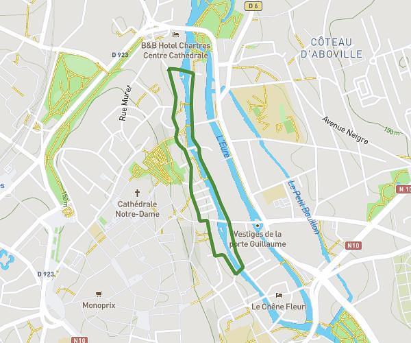
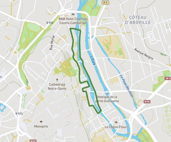
This running route covers 6.961mi starting from Morancez, Eure-et-Loir. The run is a loop trail and returns to the trailhead. This run is rated as moderate, expect about 1h15m to complete it. The route has an elevation gain of 52ft and an elevation loss of 36ft.
Pour
Route details
5.57mph
Speed
858 kcal
Calories burned
Loop trail
Route type
423ft
Min altitude
476ft
Max altitude
Route profile
52ft
Elevation gain
36ft
Elevation loss
423ft
Min altitude
476ft
Max altitude
How to get there
Trailhead: 4 Rue De Chavannes, 28630 Morancez, France
GPS coordinates of the trailhead: 48.406142, 1.491801 / 48°24'22'' N, 1°29'30'' E