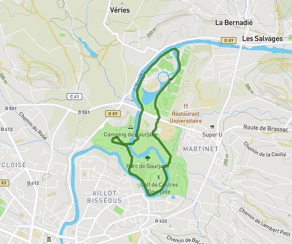
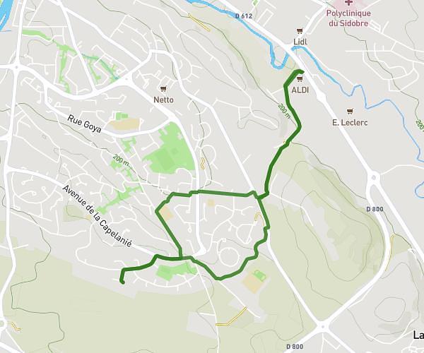
This walking route covers 3.295mi starting from Castres, Tarn. The walk is a loop trail and returns to the trailhead. This walk is rated as moderate, plan for about 1h to complete it. The route has an elevation gain of 200ft and an elevation loss of 200ft.
parcours 3
Route details
18:13/mi
Pace
245 kcal
Calories burned
Loop trail
Route type
594ft
Min altitude
732ft
Max altitude
Route profile
200ft
Elevation gain
200ft
Elevation loss
594ft
Min altitude
732ft
Max altitude
How to get there
Trailhead: 11 Rue Charles Valette, 81100 Castres, France
GPS coordinates of the trailhead: 43.58152, 2.25044 / 43°34'53'' N, 2°15'1'' E