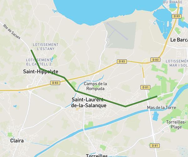
This cycling route covers 3.751mi starting from Saint-Hippolyte, Pyrénées-Orientales. The ride does not return to the trailhead and ends near 1275 Route De Saint-Laurent, 66420 Le Barcarès, France. This route is rated as easy, plan for about 24m8s to complete it. The route has an elevation gain of 128ft and an elevation loss of 131ft.
Travail
Route details
213 kcal
Calories burned
1.3%
Avg grade
Point to point
Route type
3ft
Min altitude
26ft
Max altitude
Route profile
128ft
Elevation gain
131ft
Elevation loss
3ft
Min altitude
26ft
Max altitude
How to get there
Trailhead: Camí Dels Eixaus, 66510 Saint-Hippolyte, France
GPS coordinates of the trailhead: 42.791044, 2.962346 / 42°47'27'' N, 2°57'44'' E