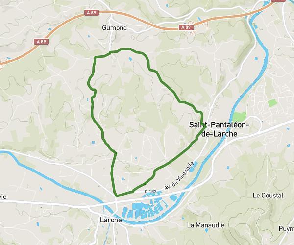
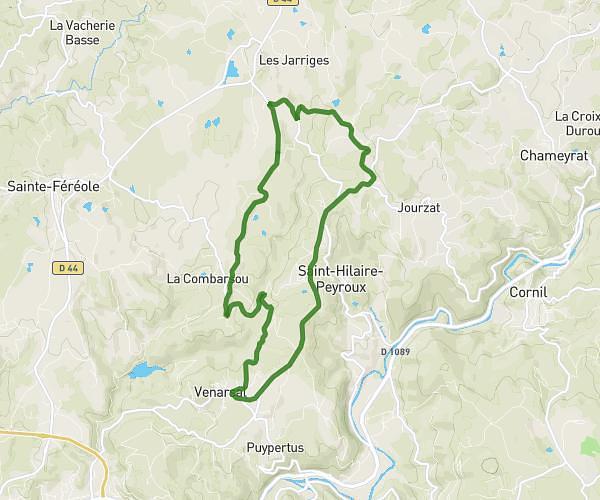
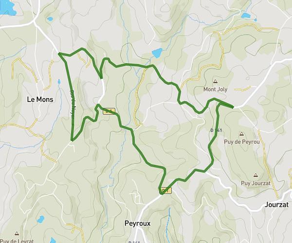
This running route covers 4.069mi starting from Perpezac-le-Noir, Corrèze. The run is a loop trail and returns to the trailhead. This run is rated as easy, expect about 40m to complete it. The route has an elevation gain of 308ft and an elevation loss of 315ft.
Parc1
Route details
6.1mph
Speed
457 kcal
Calories burned
Loop trail
Route type
1217ft
Min altitude
1362ft
Max altitude
Route profile
308ft
Elevation gain
315ft
Elevation loss
1217ft
Min altitude
1362ft
Max altitude
How to get there
Trailhead: 201 Chemin Des Tombadis, 19410 Perpezac-le-Noir, France
GPS coordinates of the trailhead: 45.32958, 1.53138 / 45°19'46'' N, 1°31'52'' E