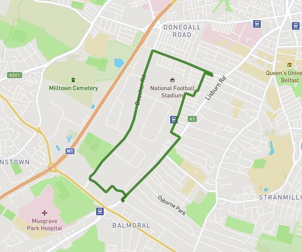
This running route covers 15.36mi starting from Bangor, Northern Ireland. The run does not return to the trailhead and ends near Mario Park, BT19 6NL Bangor. This run is rated as strenuous, expect about 1h20m to complete it. The route has an elevation gain of 105ft and an elevation loss of 92ft.
Carriageway to coastal country
Route details
11.52mph
Speed
915 kcal
Calories burned
Point to point
Route type
16ft
Min altitude
108ft
Max altitude
Route profile
105ft
Elevation gain
92ft
Elevation loss
16ft
Min altitude
108ft
Max altitude
How to get there
Trailhead: Hanover Chase, BT19 7HA Bangor
GPS coordinates of the trailhead: 54.64838, -5.64585 / 54°38'54'' N, 5°38'45'' W