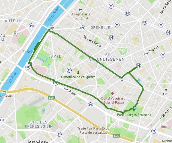
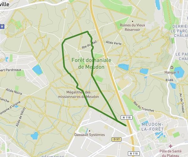
This running route covers 3.053mi starting from Saint-Germain-lès-Arpajon, Essonne. The run is a loop trail and returns to the trailhead. This run is rated as easy, expect about 33m to complete it. The route has an elevation gain of 233ft and an elevation loss of 236ft.
5KM
Route details
5.55mph
Speed
377 kcal
Calories burned
Loop trail
Route type
135ft
Min altitude
259ft
Max altitude
Route profile
233ft
Elevation gain
236ft
Elevation loss
135ft
Min altitude
259ft
Max altitude
How to get there
Trailhead: 5 Chemin De Tuilerie, 91180 Saint-Germain-lès-Arpajon, France
GPS coordinates of the trailhead: 48.608172, 2.25265 / 48°36'29'' N, 2°15'9'' E