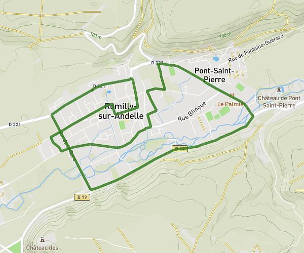
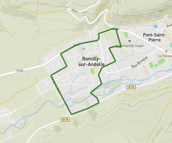
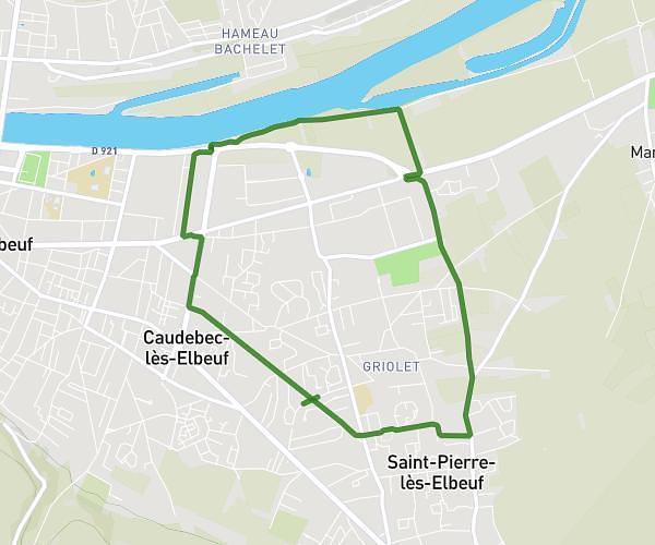
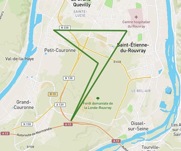
This running route covers 13.126mi starting from Petit-Couronne, Seine-Maritime. The run is a loop trail and returns to the trailhead. This run is rated as strenuous, expect about 1h54m to complete it. The route has an elevation gain of 692ft and an elevation loss of 692ft.
Course
Route details
6.9mph
Speed
1305 kcal
Calories burned
Loop trail
Route type
79ft
Min altitude
423ft
Max altitude
Route profile
692ft
Elevation gain
692ft
Elevation loss
79ft
Min altitude
423ft
Max altitude
How to get there
Trailhead: 64 Rue Victor Hugo, 76650 Petit-Couronne, France
GPS coordinates of the trailhead: 49.392133, 1.028538 / 49°23'31'' N, 1°1'42'' E